
[This walk was completed on the 8th May 2023]
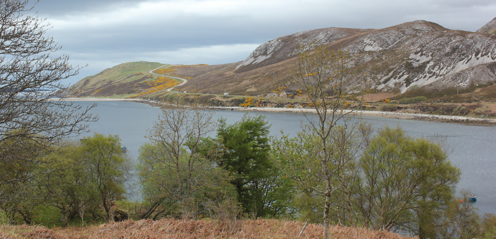
It’s the Coronation Bank Holiday Monday. I climb back up to yesterday’s parking spot and take a photograph over the bay. The fish farm is hidden below trees. Ahead, across the bay, is the long and winding road I will be following today.
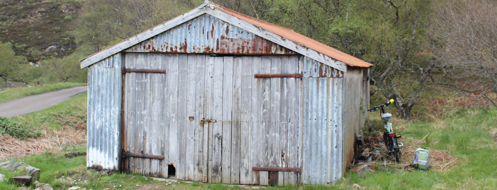
I’ve hidden my bike just below the parking place, behind an old shed. While fixing the bike’s lock, I managed to cut my finger on – of all things – a sharp blade of long grass. So, yet again, I start the day bleeding!
Luckily I have some blister plasters in my ruck sack. It’s a long time since I’ve needed them for an actual blister – my feet seem tough – but they came in useful for covering the gash in my leg yesterday and, today, for binding my bleeding finger.
Sometimes I think that bike really hates me.
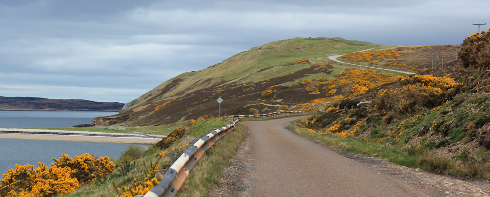
The road bends round the bay. I discover that the side road I spotted earlier isn’t just a service point for the fish farm, but looks like it leads to a little community.
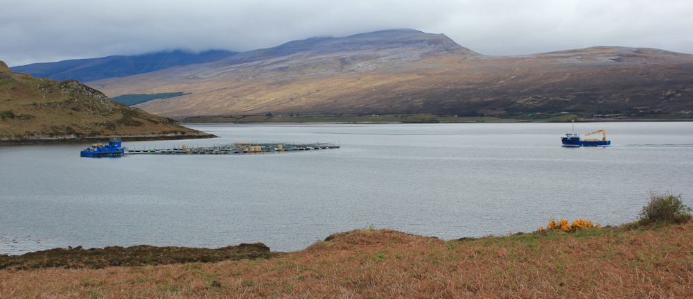
Further along the road, after dodging some annoying traffic, I stop to take more photographs across the bay and Loch Eriboll. A chug-chug sounds loudly across the water – a ship is approaching the fish farm.
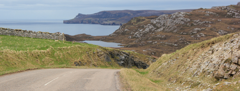
Onwards. The road runs long and straight for a mile or two, before climbing a hill. At this point, a narrow spit of land leads out towards an almost-island.
This is Ard Neackie, according to my map. There are old industrial buildings by the shore, and a little house facing inland with a couple of boats in the bay and one pulled up on the shingle. It actually looks quite idyllic.
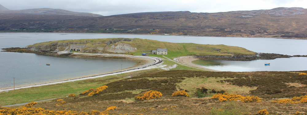
I climb higher up the road to where there is a parking lay-by and an information sign. Ard Neackie is also spelt Ard Neakie. The industrial buildings are old lime kilns. Lime was used to try to improve the peaty soil, as well as for building works. Life here maybe wasn’t quite so idyllic after all – even the soil works against you!

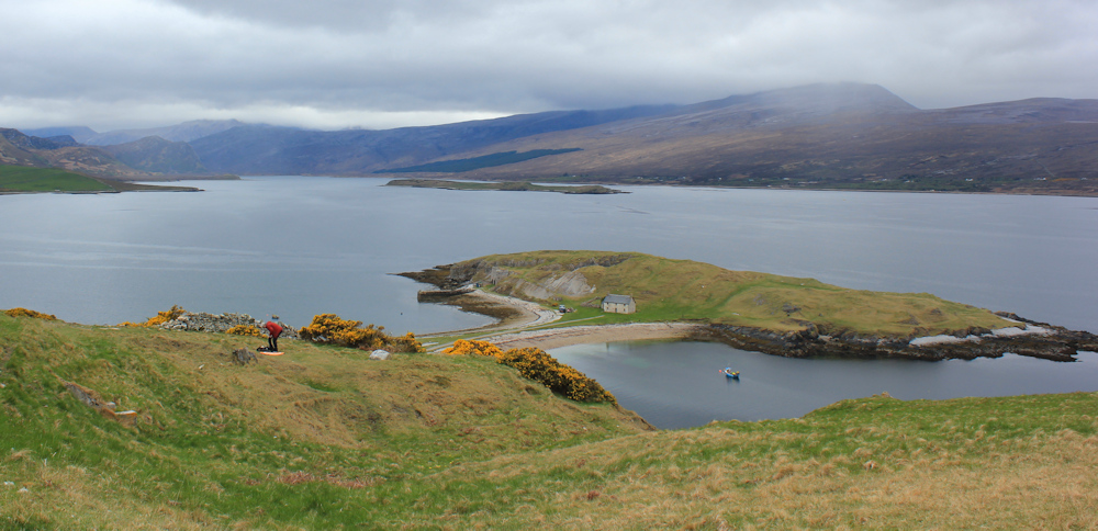
There is a man in a red jacket who has been hovering around on the grass near the sign. Now, as I climb higher, I realise why. He has been flying a drone. Serious stuff. He even has a proper landing pad with an H printed on it (and I have no idea why he needs this, unless it helps with navigating the drone in some way).
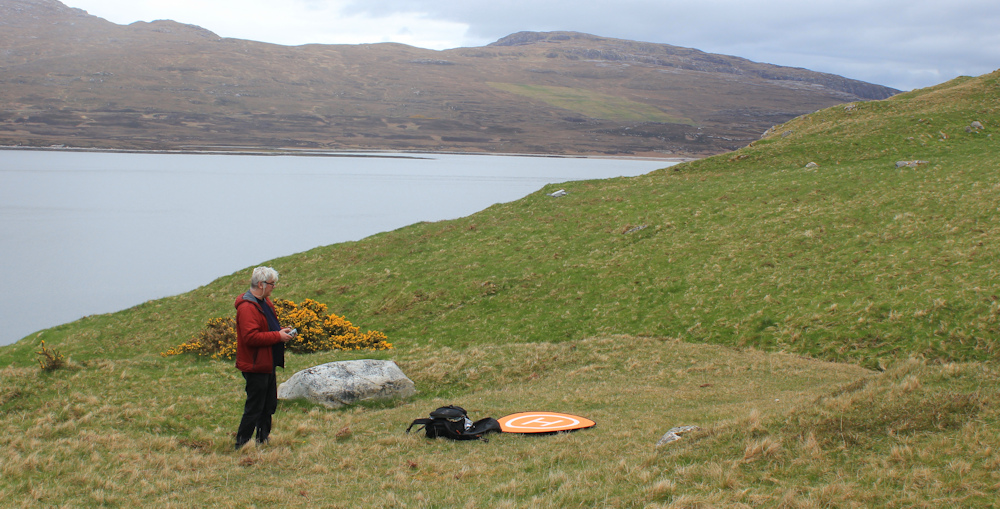
The road climbs higher still. What a wonderful view. Ard Neakie, and Loch Eriboll. Very beautiful. I hope the man got some lovely pictures from his drone.
Now I’m turning away from Loch Eriboll, and feel a pang of sadness. Initially I was irritated by the long diversion to get around the Loch, but it has been a beautiful walk with incredible scenery and I’m sad to leave it behind. Goodbye Loch Eriboll.
Having crested the climb, the road drops steeply downwards. Of course, I cycled along here earlier on the Scooty bike, so this incline is not really a surprise. In fact, the hill is so steep that even Scooty couldn’t make it up with his electrical assist power, so I had to walk up this last section of road pushing the wretched thing (he is very, very heavy!).
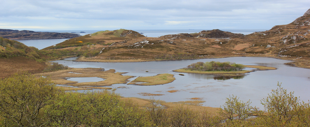
The scenery is dramatic. This is Loch ach an Lochaidh, and looks like it has been recently flooded, with grassy areas just standing proud of the surrounding waters.
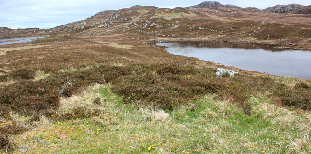
A stip of land separates this loch from the next loch, Loch Cragaidh. My map indicates a line of hut circles in this area. I think I find one (in the foreground of the photo below) and can make out some possible remains of other circles in the distance.
I make use of one of the rocks. Time for a rest and a snack.
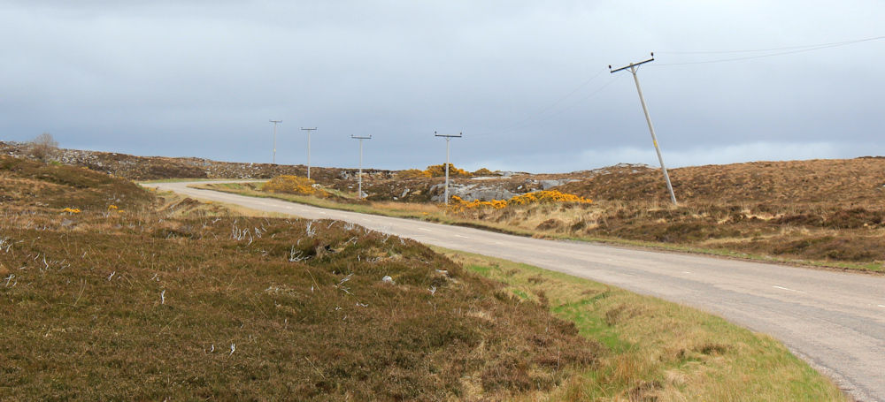
Onwards. After falling so steeply, the road now decides to rise again. That telegraph pole looks rather tipsy!
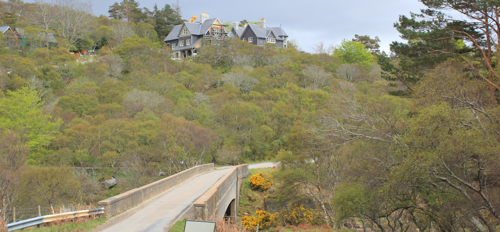
At the top of the hill, and in the distance, I can see some buildings. With my camera on full zoom, I get a better view. That big building on the left is called Hope Lodge. It looks like a hotel – perhaps there is a cafe there? My spirits lift.
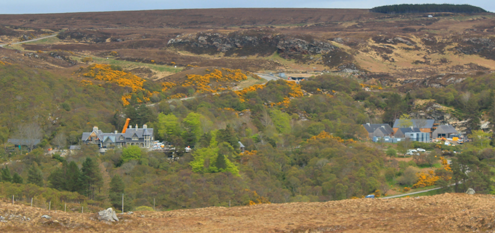
A cup of tea and a piece of cake… that would be lovely.
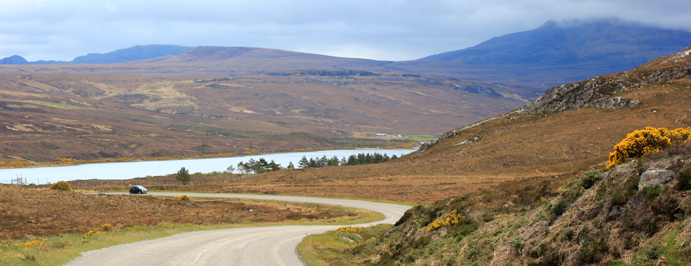
Onwards. But the road seems in no hurry to get to the Lodge. Instead, it winds away and downwards towards another long finger of water – Loch Hope.
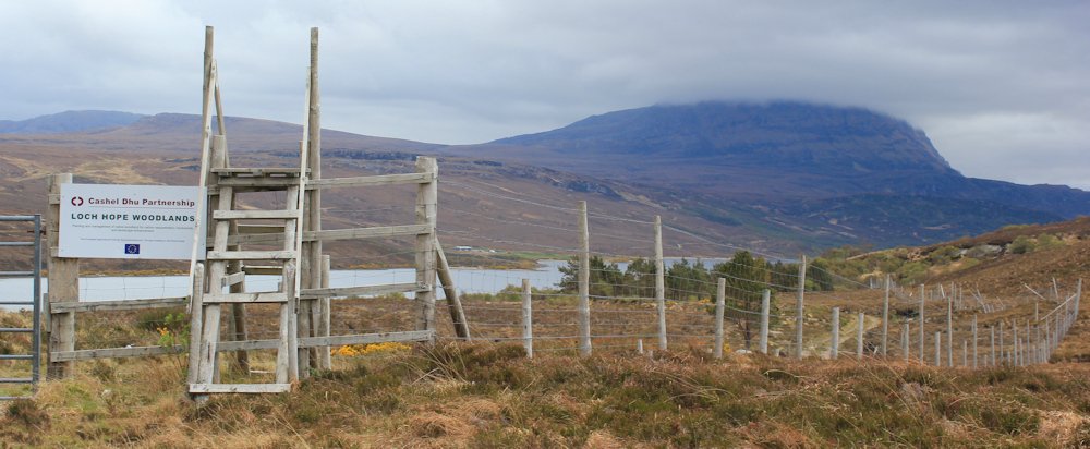
I pass a deer fence, with a stile and a gate. “Loch Hope Woodlands” proclaims a sign. The trees I can see are sparsely planted, mixed varieties, and young. Must be a new attempt to create a woodland here. I know there are many such young plantations across the highlands – an attempt to replace the forests that were lost in the sheep clearances of the 19th Century.
Now the road turns northwards and straightens out, seemingly still determined to bypass Hope Lodge, which I can see on the right above some trees. A lone woman cyclist labours up the slope towards me. I feel her pain. This hill was unrelenting on my Scooty bike, despite electrical help.
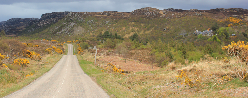
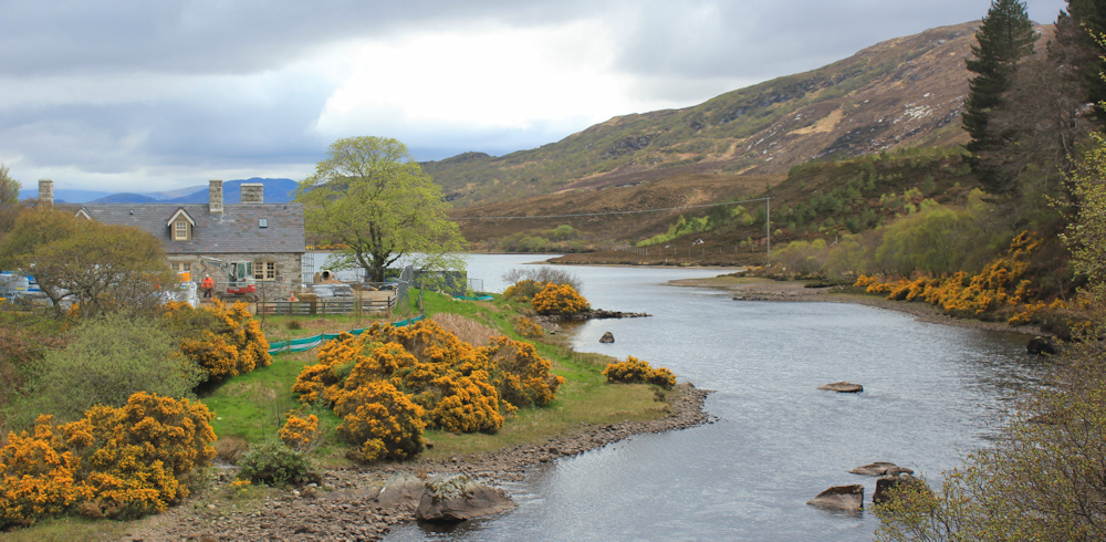
And then, finally, the teasing road loops round and down, and Hope Lodge is directly ahead. First I have to cross Hope Bridge.
I stop on the bridge to take photographs. This is Hope River, emptying the water from Loch Hope into the top of Loch Eriboll. Hope is a very non-Gaelic sounding name. Oh, I can see a cement mixer and building materials…
… in fact, this is a building site. At first I think it is a holiday camp with lodges being renovated.What a wonderful spot to spend a holiday!
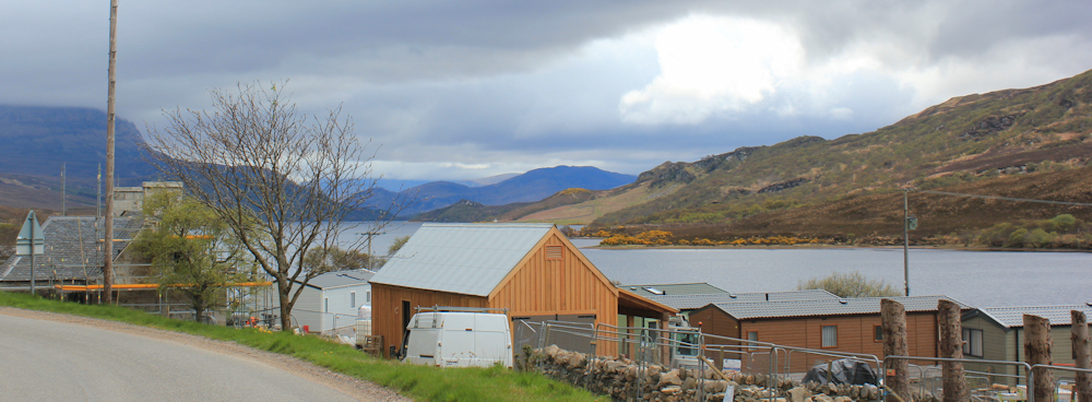
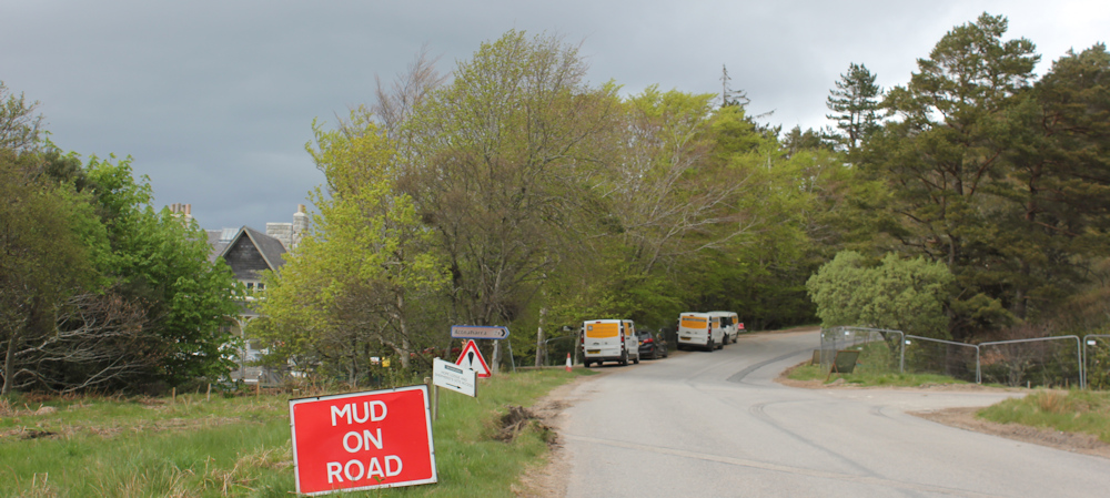
Later, as I climb the steep road up from the bridge, I come across another collection of building materials and a city of portacabins. The signs on the sides of the cabins indicate these belong to a construction company based in Newton Stewart.
Newton Stewart is miles away in the south of Scotland. This must be a mammoth building project and they have to house the contractors and workers somewhere.
I step aside to let a huge digger rumble past. “Mud on Road” says a sign.
I’ve finally reached the entrance to Hope Lodge – but it is in the process of being renovated, or converted, and is definitely closed to visitors. My vision of tea and cake disappears in a puff of disappointment.
Ah well, the next sign is encouring. John O’Groats is only 77 miles away.

At this rate of walking, it will only take me a week to get there!
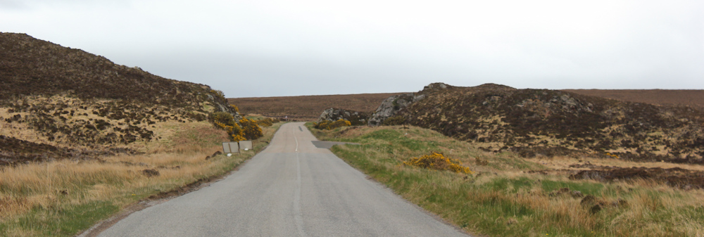
The road is still climbing. I’ve left Loch Hope behind, and now the scenery is brown and uninspiring.
There are dark clouds ahead. I’m feeling tired and decide to stop and have a snack and a drink before it starts raining. But there is nowhere to sit. Eventually, with the road still climbing, I spot a few stones in the grass. Perch uncomfortably and shrug off my rucksack. A quick drink and a chocolate bar… and then it is time to move on.
I stow my coat in my rucksack – all that puffing uphill has warmed me up!
Near the top of the climb, I come across this cairn. When I passed it earlier on my bike, I assumed it was either a memorial or an information point. In fact, it is neither – just a pile of stones without any obvious purpose.

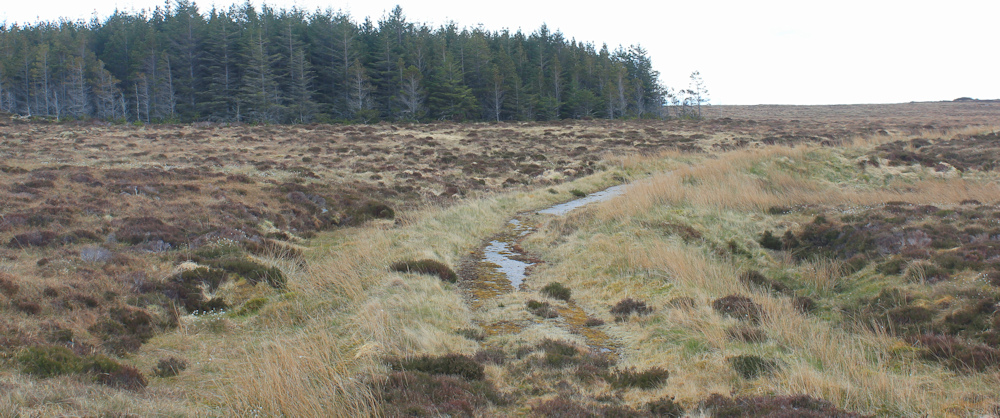
I’m having negative thoughts during this section of the walk. It seems to never stop going uphill, and the scenery is dull and uninspiring. Look at this gloomy fir plantation ahead. There is a vague path running beside the road, which I try and walk along for a while, but it is boggy, often overgrown, and keeps disappearing. So, I end up returning to walk along the main road. At least it isn’t raining.
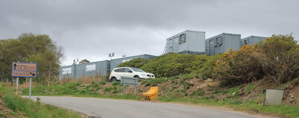
I pass “Caution Site Access” signs, and a wide muddy track that leads off to the right and disappears over a ridge. What site? Are they building something, or is it a quary? No idea.
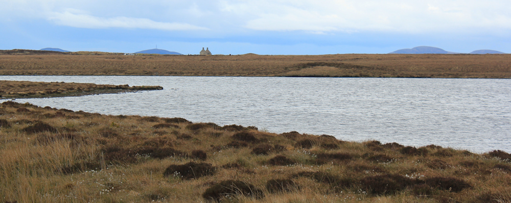
Finally, a glimpse of the sea – several miles away across an empty stretch of nothingness, but a reminder of what this walk is all about.

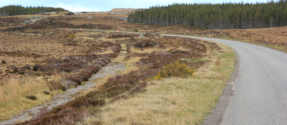
The path to my left disappears… and reappears on the right hand side of the road, and veers off into the boggy wilderness.
The road widens into two lanes, and the traffic gets faster. There isn’t much traffic to be honest, but vans whizzing past at 70 miles an hour are quite intimidating. I pick up my pace. I want this walk to end now, to be honest. I’ve had enough.
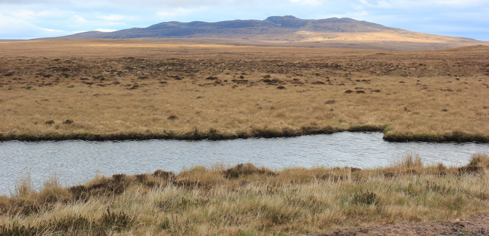
I spot my destination across the water. This is Loch Maovally, and the building in the distance is my end point today – Moine House.
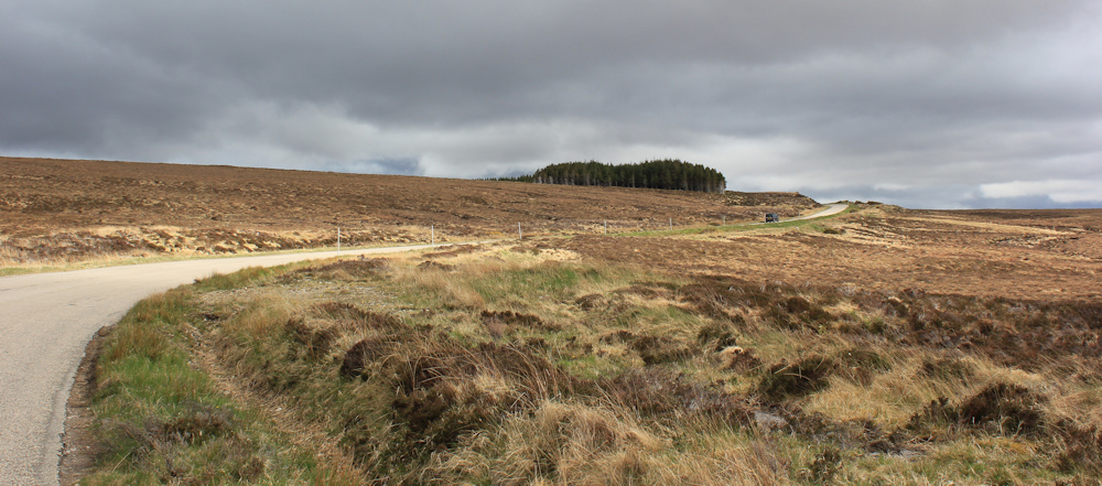
Finally, I’ve reached the top of the climb. The road flattens out. Patches of sunlight fall across the landscape. I stop to take photos of a ridge – the only interesting feature in this boggy plain.
I reach the turning for Moine House, where my van is parked in the little car park. I’m glad to leave the road.
Moine house is a little old derelict cottage, which seems devoid of any architectural merit. Initially, it is unclear why it deserves its own car park or such prominence. But, luckily, information signs explain why this place was so important.

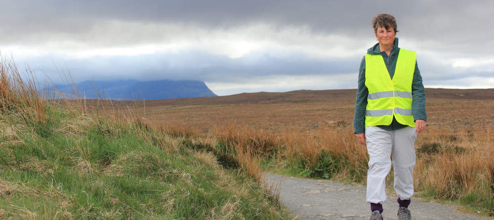
This featureless bog stretches from Hope in the west to Tongue in the east. Travelling between the two settlements was a muddy and dangerous adventure, and so, in 1830, the Duke of Sutherland built a road which ran across the bog. The road was apparently supported by bundles of heather to prevent it sinking. (I think the “path” I saw earlier was the remains of this road.) Moine House marked the half way point, and the tenants were required to provide hospitality to travellers.
I stand on the old road – now resurfaced I suspect – and balance my camera on a post to take a self portrait.
Today has been a difficult day with the second part of today’s walk being both tough and uninspiring. I have a horrible feeling that the best part of Scotland is behind me.
This evening I am moving on to a new campsite in Tongue. I hope its nice.
Miles walked today = a miserly 7 miles
Total around coast = 4,955 miles
Route today:


Don’t despair Ruth. Although John ‘o Groats is an awful place I found the east coast fascinating. Lots of small settlements and a lot of ancient history.
Add to that the fact that an off-road coastal path is being developed
https://www.walkhighlands.co.uk/john-o-groats-trail.shtml
and the east coast is much dryer than the west. Look on the bright side, fewer midges!
Thanks for the encouragement Alice. As for JOG, nothing can be as bad as the awful Lands End shopping centre! I’ve been watching the progress of the coastal path on the east – it would be lovely to walk a decent coastal path again.
Wonderful as always Ruth. Thank you for ‘accompanying us’ on the way….
Thank you for your kind comment.
That view of Ard Neackie was my favourite back on June 1 when we drove that section.
It’s really stunning.
Despite your comments at the end of this post I was much impressed with the scenery earlier, and also very muchly so with your previous post round Eribol. Although some of the scenery further back down the west coast was so spectacular, for me this section has rivalled that, but for you on the ground the perception may be different? My LEJOG route to John o” Groats was further south, west to east across the middle of the Flow Country, wild, magnificent and memorable for many happenings.
I think it was the emptiness that I found a bit dreary. Also I was just tired, and emotions always contribute to our perception of landscape.
We were forced onto the road for this section too — all the way from an hotel in Tongue to a caravan Laid, in fact. And bloody annoying it was too: I came to hate the motorcyclists and motorhomes that infest the NC500, though most of the former are courteous enough to wave as the pass (unlike the latter). I doubt either group brings much to the local economy. Mind you, the views of Ben Hope and Ben Loyal were good.
It’s a lovely road when there is no traffic, but a pain when you’re constantly dodging big vans.
I wonder if the construction work is due to the space port (yes, really) planned for Am Moine.
No – I believe it is just Anders Povlesen doing the development for his eco tourism business. Or maybe doing it up for his own use.
I absolutely love your writing, Ruth. I’ve just discovered your blog and I am much enjoying your observation, the record of your joy and your misery. Ok, so, shameless plug for my blog follows but it’s why I’ve landed here, after all. I am particularly inspired by your utterly selfish motivation. A woman after my own heart.
One thing I would say is that I’ve discovered my own perverse enjoyment of the ‘bleak’ and the ‘banal’. I think it is incredibly comforting and humane in some way that the instagramminess and drama of some classic walks don’t capture. So, chin up. Adventures of all sorts are around the corner. Our paths will unlikely cross.
Thank you so much Laura. I try to be as honest as possible about my experiences. And I’m off to look at your blog now… 😆
Your route to Tongue is probably the bleakest stretch of the entire coast walk. I went out to the coast from near Moine House to Whiten Head. The route to Whiten Head covers miles of similar ground until you get to the coast. So few people go out there that the deer are quite tame as they are not used to seeing people so are not skittish. Back in 1968 the Tongue causeway had not been built so the path to Tongue was miles longer! Don’t worry. Things get more interesting once off this area which is known as the Flow Country. But you probably know this now anyway. I met a member of the Tongue mountain rescue team team when I walked this stretch. He had lived in Tongue for 40 years. They had a distress call from a fishing boat to go to Whiten Head. The nearest lifeboat is Thurso so a long journey from there to Whiten Head. He was asked to walk to Whiten Head to see if there was anything he could do. He told me it was the first time he had been there in 40 years! It is very remote but you missed nothing bar a few stacks.
You are braver than me – I didn’t dare stride off across the landscape because I thought I would end up sinking into a bog. I would have preferred it if I could have walked a proper path, but road-walking through a bleak landscape is a bit dreary.
After the beauty of your previous few walks I can understand why you were not as enamoured by this stretch, though I think parts of it are still lovely.
Some of the flora is really interesting. When I walked out to Whiten Head I saw more unusual bog plants and greater variety than I saw anywhere else – a bit nurdish I must admit. Particularly along the north coast from Whiten Head eastwards..