
[This walk was completed on Wednesday, 7th May, 2025]
I cycle to Hilton of Cadboll, and chain my bike up to a sign that reads, “Balintore, 1 km”. Look back at the shore where I walked yesterday and…
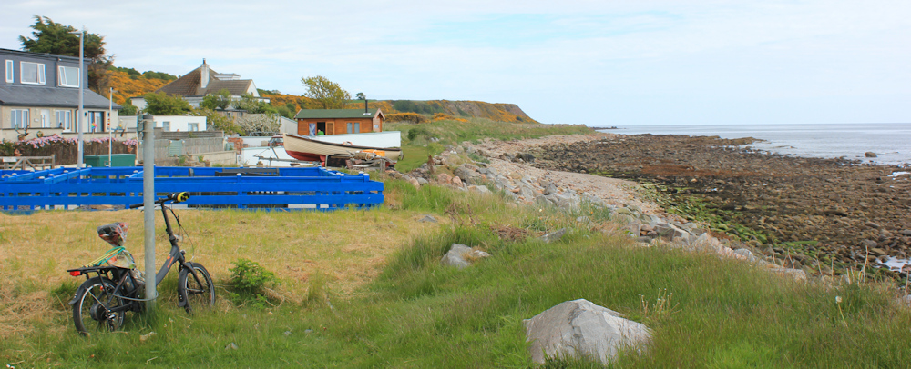
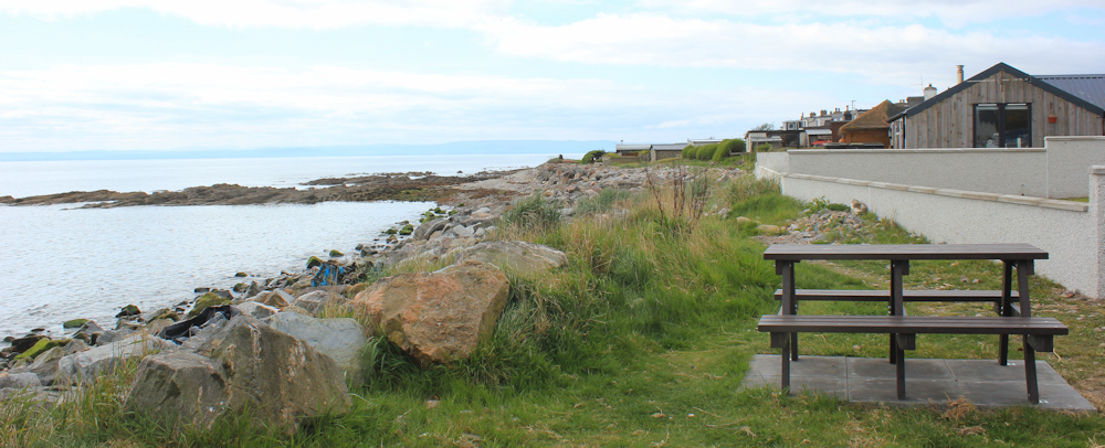
… sit down on a nearby picnic bench. I’ve brought a ham sandwich with me. It’s 12:30pm and time for lunch. (Yes, another late start. It took me far longer to drive here than I anticipated!)
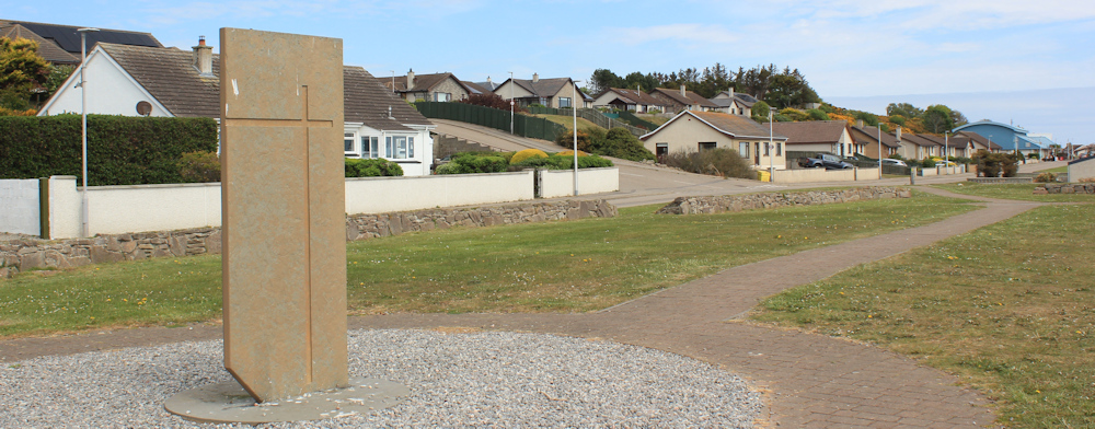
I had only just set off on my walk, when I meet a local man. I ask if he lives here permanently and he says he does. He asks if I’ve seen the Pictish stone in the field, but I haven’t as I’ve been sticking to the coast. Worth visiting, he says, even though it is a replica of the original stone. And he begins to tell me stories of the area.
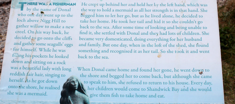
Long ago, a local princess was married to a Viking prince, but her father heard that the princess’s new husband was treating her cruelly. So the father set off and rescued his daughter, bringing her back in his boat. But the Viking prince was in hot pursuit, along with his two brothers in their own boats. Knowing these coastal waters well, the father ran his boat close to a reef. The three pursuing Viking boats hit the reef and all three princes were drowned.
The three bodies were washed up in different places on the shore, and the places where they were found were marked with stones. There is one here in Hilton, one in Balintore, and one in Shandwick.
He points across the water to where a bouy now marks the reef. He also tells me about the mermaid I will meet further along the bay.
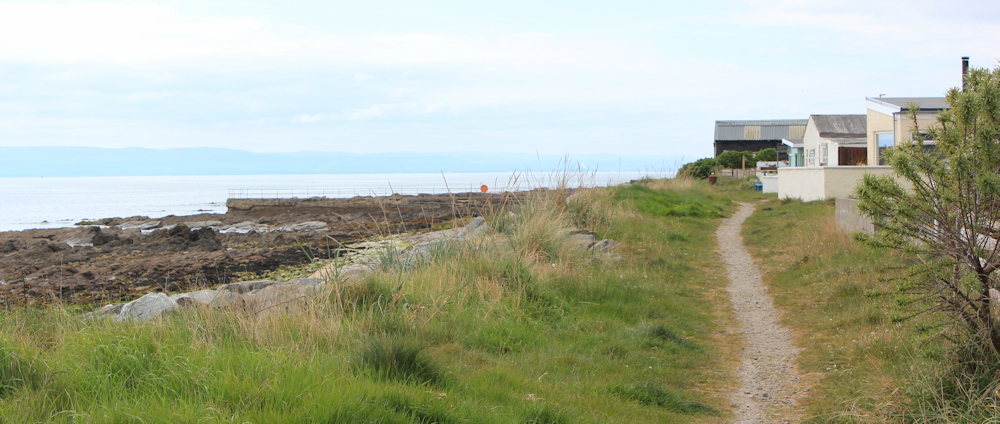
After this pleasant lesson in local folklore, I continue on my way. I’m following a path that runs close to the shore. To the left is the rocky beach. To my right are gardens, sheds, summer houses, and beach cottages.
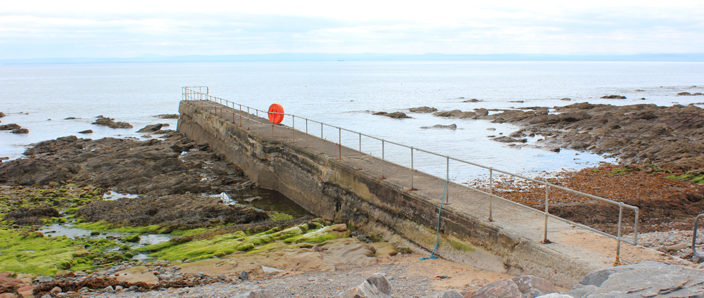
Further along, I come across the old jetty. “Welcome to Hilton Harbour” says a sign. “This was restored by Hilton Parliament in 2004”. Harbour? Rather a grand name for a lone jetty with no boats.
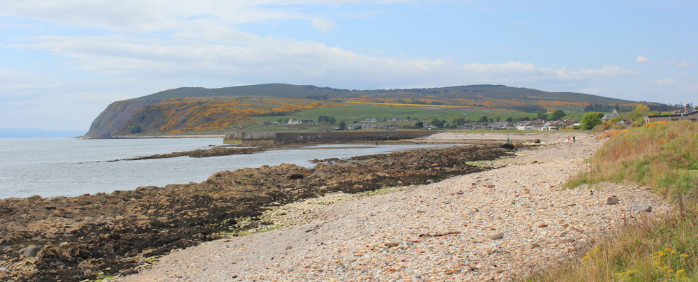
Beyond Hilton is another village called Balintore. It’s actually hard to tell where one village ends and the other begins. Together with a third village called Shandwick, these three settlements are termed “The Seaboard Villages”.
The beach at Balintore has a wide strip of shingle above the rocks. In the distance is another harbour wall, and beyond that is a high headland.
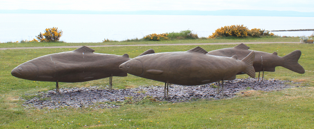
In Balintore, a sign tells me about the Sculpture Trail, and I soon start spotting the pieces of art work and take plenty of photographs. Love these 3 graceful fishes gliding through the grass…
… But the highlight of the Sculpture Trail is the mermaid on a rock. I’m not sure about her proportions, but she is certainly an impressive figure and quite large. When the tide is in, she and her rock will be surrounded by water. What a great location.
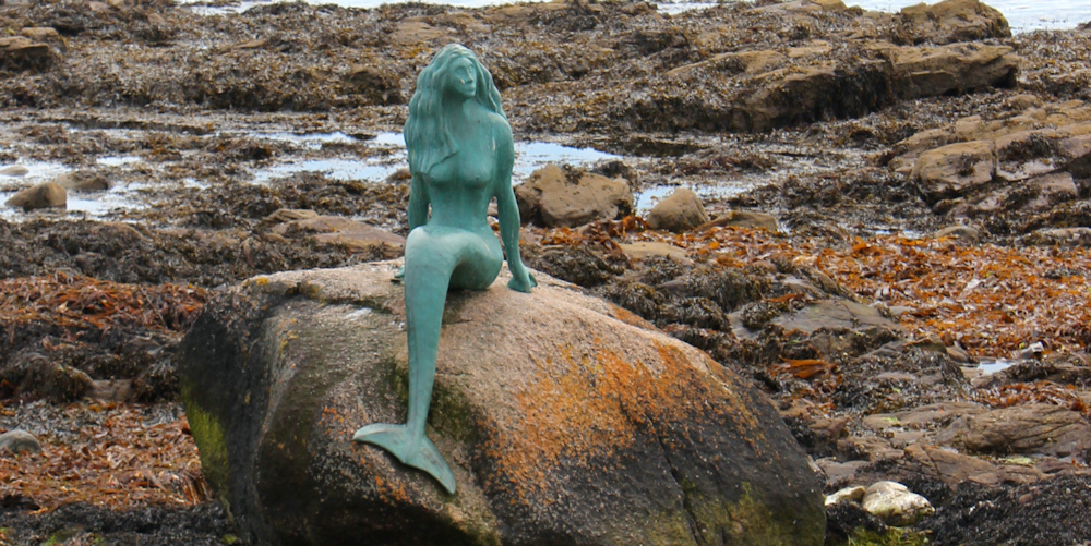
I take plenty of photographs of the mermaid and send them to my granddaughter. She will love this mermaid, I think – but later I learn she is not particularly impressed by my photographs! No pleasing some 7 year-olds!
The story of the mermaid is outlined in various places along the walk, although I heard it first from the local man I met earlier.
[You can read a short version here: Mermaid of the North]
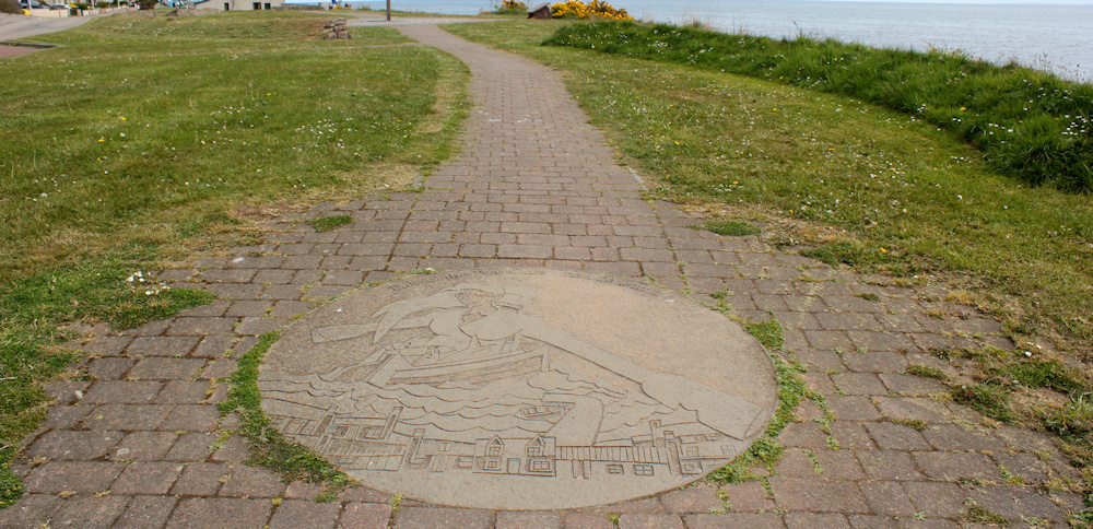
Some of the other sculptures are also impressive in their own way. Like this standing stone…
… and this carved circle in the pavement, with seaside cottages and a huge boat.
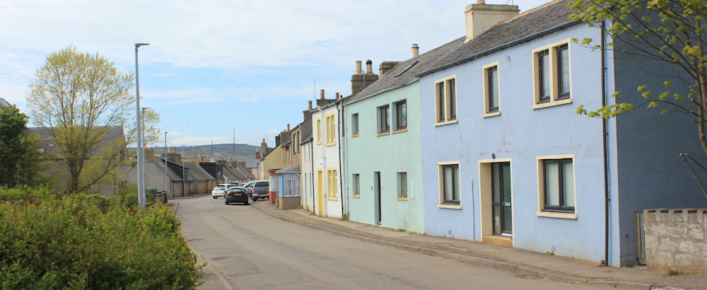
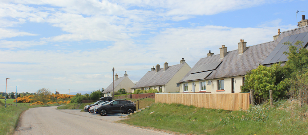
Balintore itself is quite attractive. I snap a photo of a typical street, with a mix of painted houses and rows of tiny cottages.
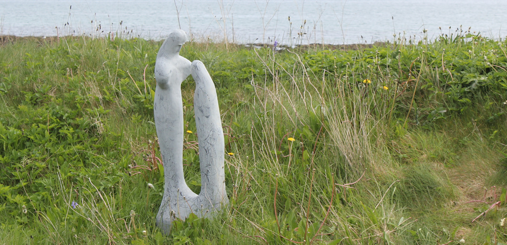
The final sculpture I see is quite small and almost hidden in the grass. Is it a mermaid with a large fish? Not clear.
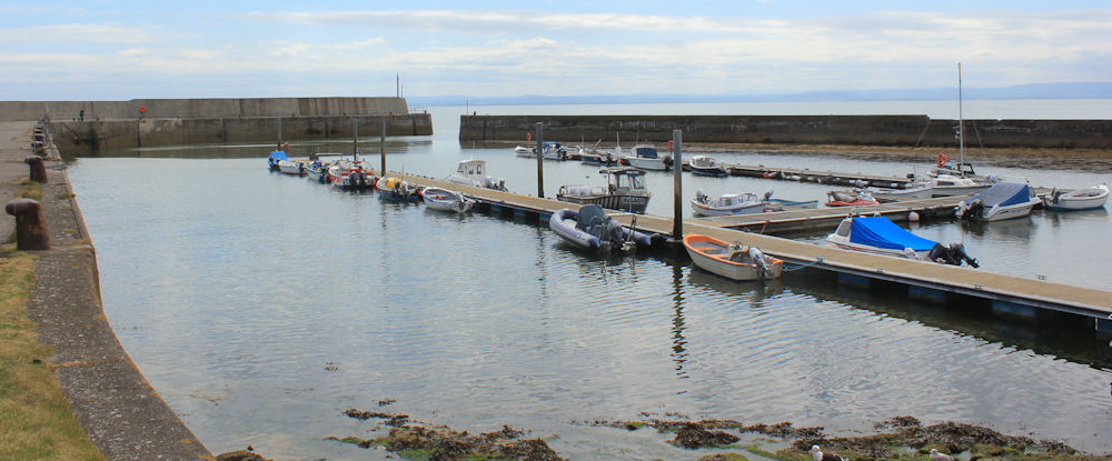
Leaving the sculpture trail behind, I walk around Balintore’s harbour. Unlike its partner in Hilton, this harbour is quite large and various types of boats are moored along the jetties.
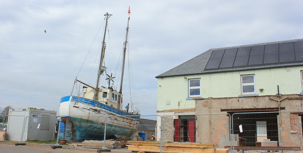
Nearby, some construction work is taking place in a house with an enormous sailing ship propped up in its garden.
Further along, the path goes past a fence-enclosed polytunnel. “Seaboard Community Polytunnel Group” says a sign on the fence.
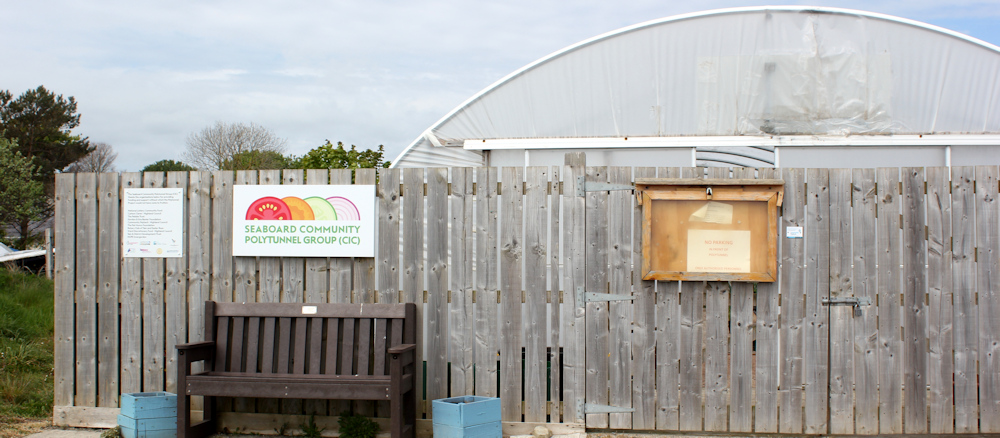
I’ve heard of community allotments before, but a community polytunnel is a first for me!
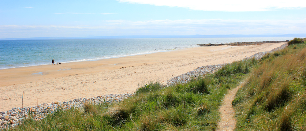
Balintore peters out, and the village of Shandwick begins. This has a completely different feel from either Hilton or Balintore, as it consists of a beautiful curve of sandy beach.
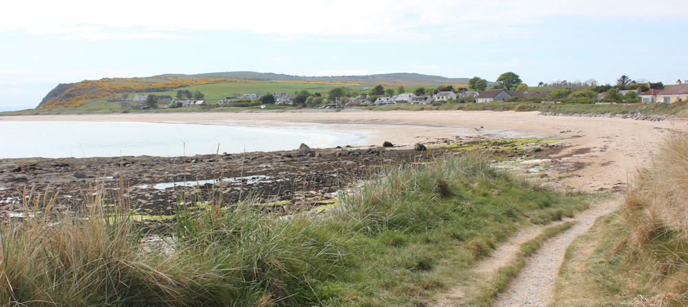
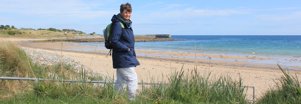
What a delight to walk along the sand again! When I reach some railings at the far end, I prop my camera on a handy bench and take a self-portrait. Look at the colour of that sea!
From here, a path follows the line of the beach towards the headland. Glorious walking. A few dog walkers on the sands below me, and I meet a jogger, but otherwise nobody ventures this far away from the village.
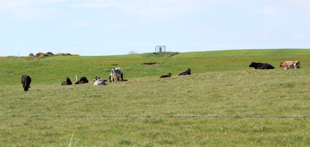
Looking to my right, across fields of cows, I see a strange structure on top of a rise. Check my map, and discover the famous Shandwick Stone is somewhere nearby. Is that strange square structure a tourist information booth?
Earlier, a sign had told me it was possible to walk all the way along the coast to the tip of the Nigg peninsula. But, the sign warned, the route is rugged and difficult. For a moment, looking at the sandy beach, I am tempted to try… but I’m not sure how difficult it will be and, anyway, my van is parked by the cemetery at Chapelhill.
So, I turn back, and find a path that heads inland to join a minor road…
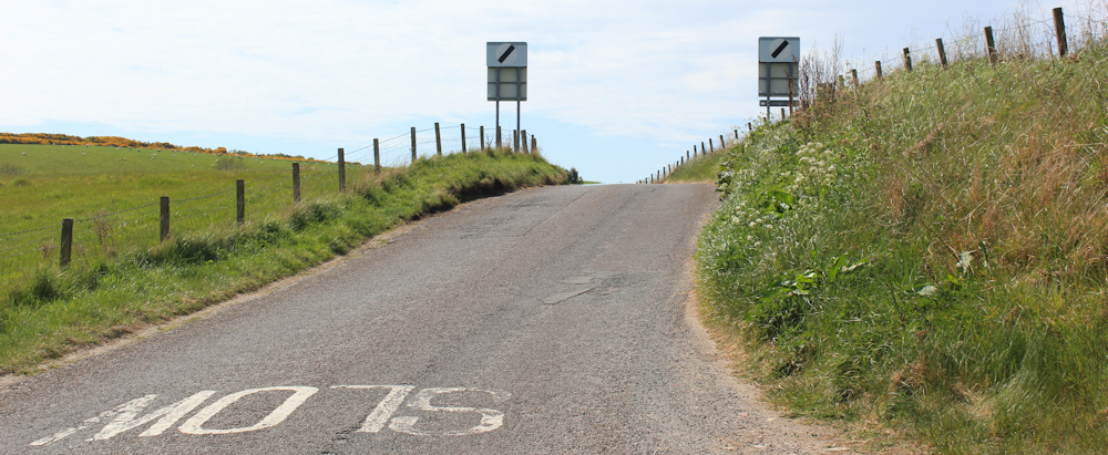
… and reach the main Shandwick road. Turn away from the coast and head uphill. Yes, it is steep!
At the top of the hill, I can see the strange square structure I spotted earlier. It’s the Shandwick Stone, enclosed in a glass or perspex container.

While the stone at Hilton is a replica, this stone is the original Pictish monument. And it really is magnificent. Geometric symbols and a hunting scene, the stone is covered in carved creatures, some of which may be mythical, but others clearly recognisable as dogs, or goats, or boars, or deer.
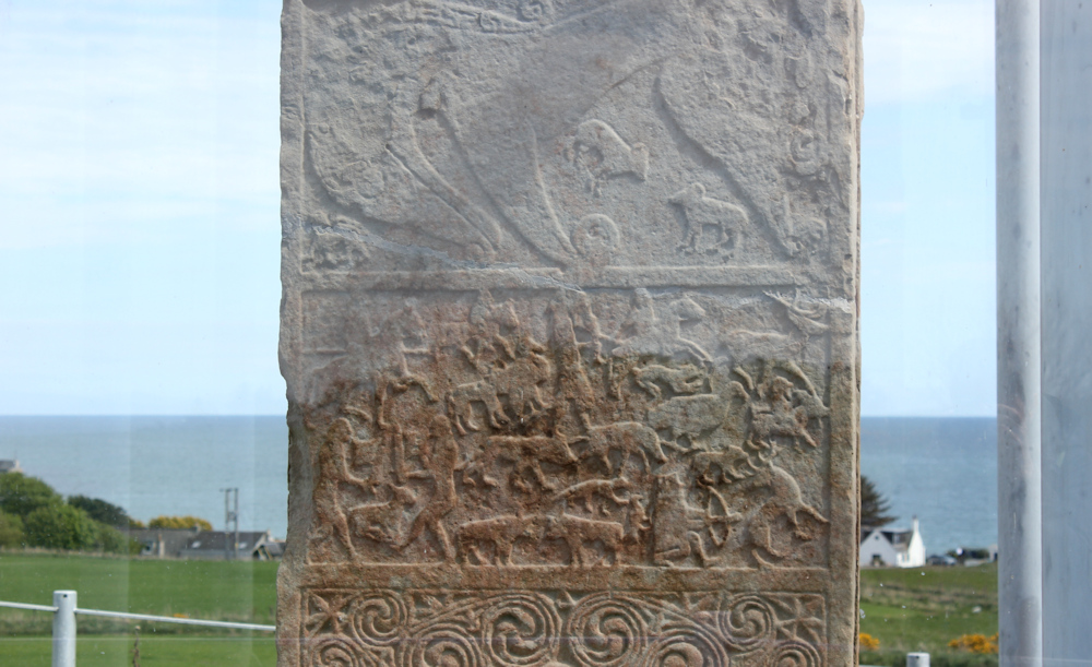
The container is kept locked to preserve the stone. Shame because I wanted to take better photographs, but understandable.
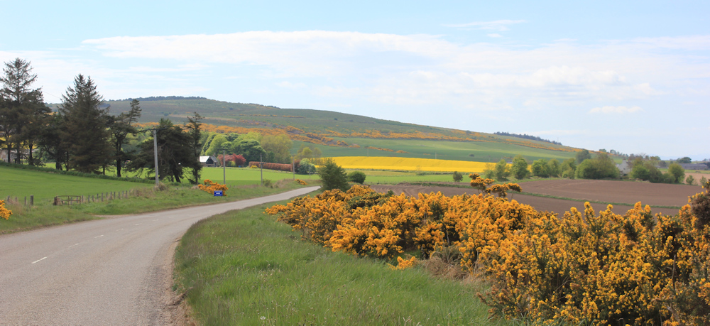
Onwards, along the road, to join a more major road. The sun is shining brightly now, and the landscape is glowing with fresh greens of grass and crops in the fields, and the golden-yellow hedges of gorse. Blue hills in the distance.
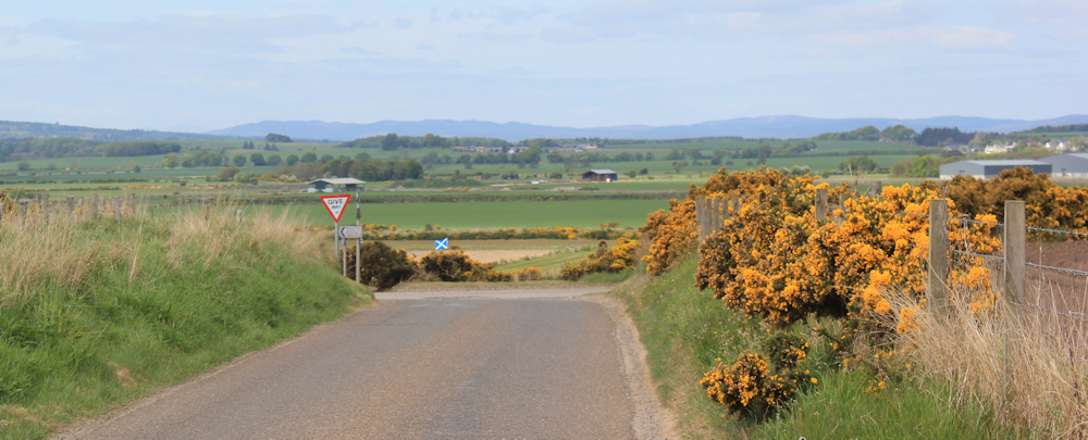
At the T junction, a very nice modern stone says “Welcome to Shandwick” and is surrounded by cheerful tulips.
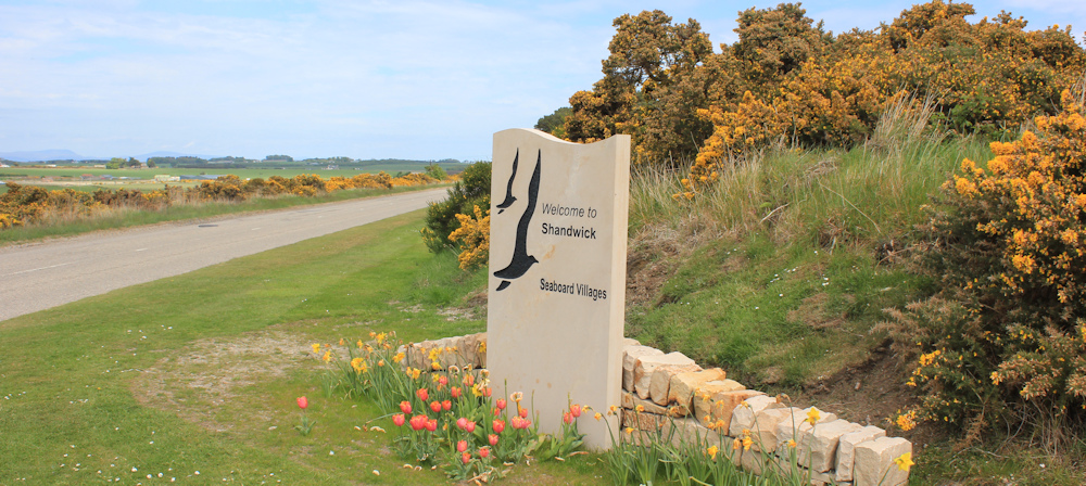
But, of course, I’m saying “goodbye to Shandwick”, and I turn to my left and start walking along the road.
I really wasn’t looking forward to this section of the walk, but it turns out to be quite delightful. Apart from the occasional traffic (why do they all go so faaaast?!) the scenery is beautiful and gleams with vibrant colours in the sunshine.
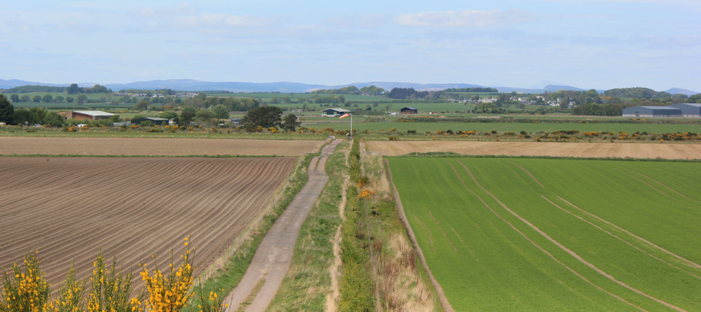
It’s an agricultural area – farm houses tucked among trees and a series of huge fields stretching for miles. (The size of the fields reminds me of the industrial agricultural landscape of Linconshire.) Oh, and an airfield. Easter Airport, says the sign, pointing to where a distant windsock blows in the breeze.
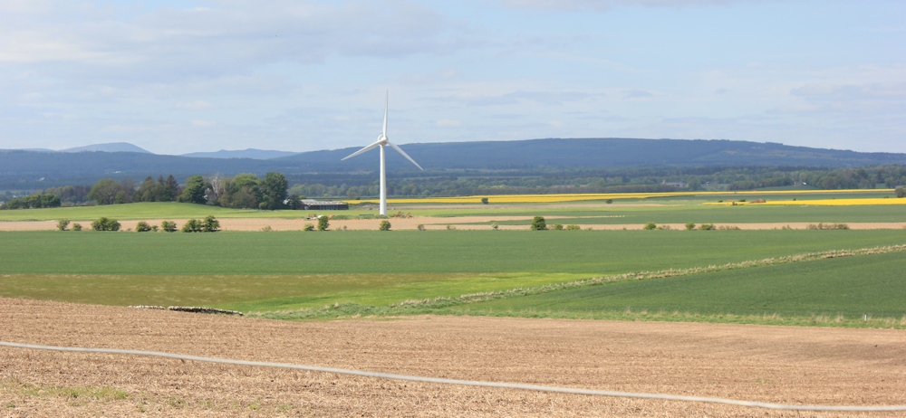
Further along, opposite a farm called Easter Rarichie, a lone wind turbine is turning.
The road continues, following the contour of the low hills to my left. Ahead is a farm called… wait for it… Wester Rarichie.
Beyond this, I reach a row of modern-looking bungalows. “Adams Place” says a sign. I was planning to park here this morning because, looking on my OS map, I couldn’t see anywhere else safe to leave the van along this narrow road. But I found somewhere more suitable, and it is only a bit further along.
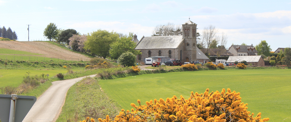
I pass a turnoff to Nigg Village and Nigg Old Church. I can see the church from the main road. It doesn’t look very old, and seems to have been turned into a parking lot for tractors and vans.
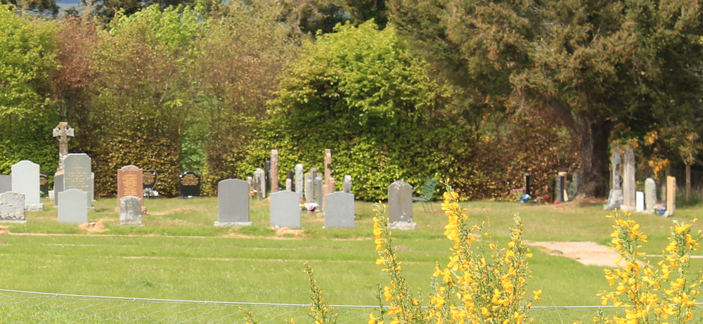
There is a walled cemetery on my right. A mix of old and new stones, including Commonwealth Graves, according to a sign on the gates.
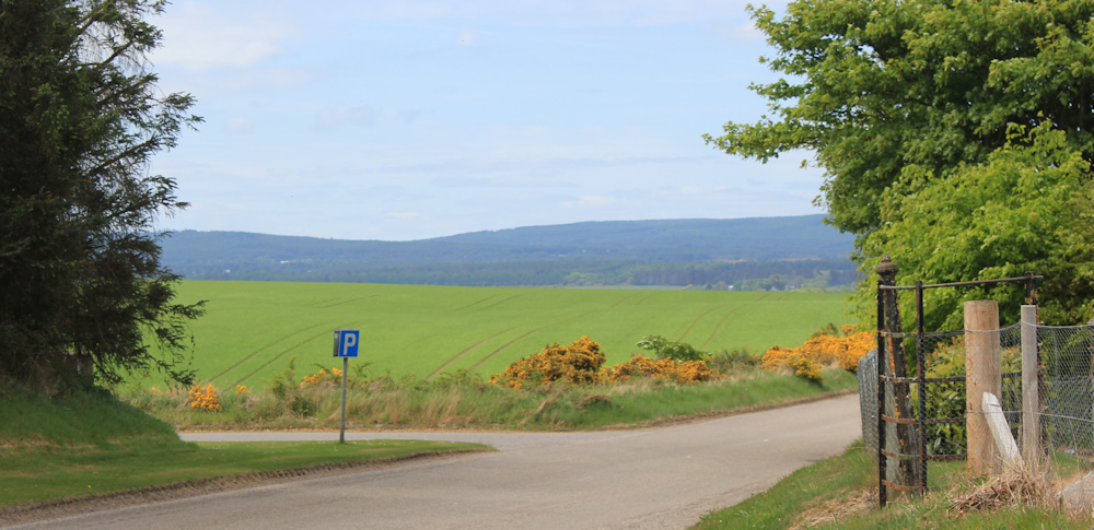
And just beyond the cemetery is the small public car park where I have left my van. Funny, but this car park wasn’t marked on my map – neither my paper map nor the online OS map. It was purely by chance that I spotted it.
(One of the many logistical difficulties to planning my walks is the lack of parking places. Most of the roads are narrow, and spotting a safe place to leave the van can be very difficult!)
Now, my walk is over, but I face a long drive to my campsite in Fortrose. I’m tired and hungry. Luckily, there is a fish and chip shop in the village, and I’m looking forward to it already.
You can read more about the mermaid here: https://seaboardcentre.com/mermaid-of-the-north/
And read about the Pictish Stones here: https://highlandpictishtrail.co.uk/highland-pictish-stones/ and the Shandwick stone here: https://highlandpictishtrail.co.uk/project/shandwick-stone/
Miles walked today = 4.5 miles
Total distance around coast = 5,209 miles
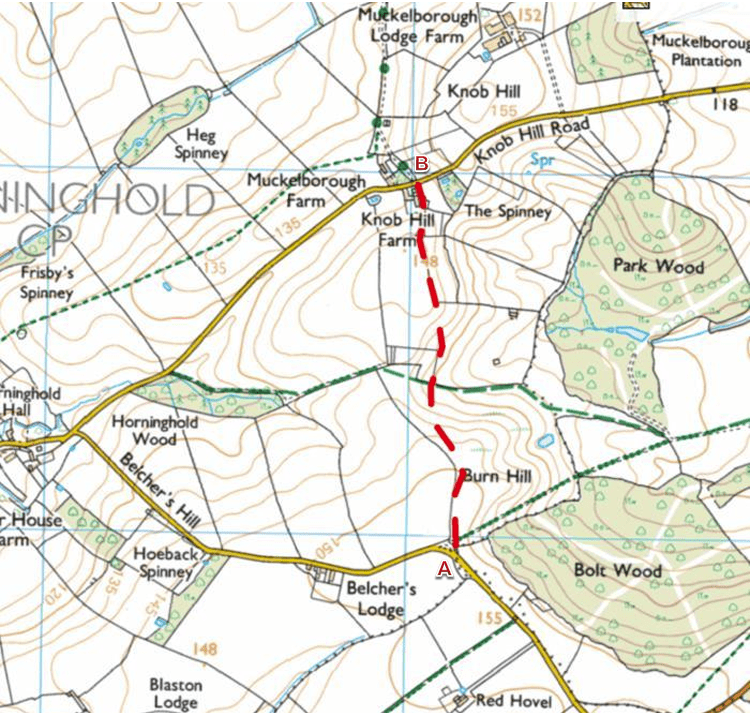
Route today:


If you like Pictish stones I do hope your walk took you to Nigg. They have one of the best Pictish stones there are. Looking at your map I have a horrid feeling you might have passed it by and walked from Chapelhill to Invergordon. I guess I will discover next write up. If you did pass it by I recommend you make a detour to see it next time you are in the area. All best.
A nice varied walk this one with a lot of interest especially the Pictish stones. I knew when I saw your photo of the box on the top of the hill what it was as I remembered it in the glass box. I still am not sure why these villages are known as the Seaboard villages given all the villages on the coast are on the seaboard but it’s still a nice name.
I do find Google maps and the street view can be good for scouting out possible parking places, especially on single track roads where there are so few safe places.
Ah! I realise now ferry date is not a problem, but I am still in suspense about your route ahead. I use Google Earth a lot for finding parking spaces. The locations I select these days for my day walks are usually remote with narrow lanes and as you say, parking is a BIG problem.
I reckon that guy got away very lightly after kidnapping the mermaid and chopping her tail off. He’d get at least 30 years for that these days. Nasty bit of work.
Your car park is shown on OpenStreetMap, but only if you zoom in enough.
https://www.openstreetmap.org/node/1608449574#map=17/57.740409/-3.975098&layers=P
Ru
Ruth,
Sorry about that! I must have pressed a wrong key. I can only add my sympathies for all that you and your daughter have gone through in the past year or so, and say it is good to see you back on walking the coast.
When you walked across Dornoch airfield, you commented on the number 82. This number was in fact 28. Airfields number runways to let pilots know the bearing in relation to magnetic north. The runway number is formed from the bearing rounded to the nearest ten, with the trailing zero omitted, and single digit numbers gain a leading zero. The other end of a runway shows the reciprocal bearing, which is 180 degrees different. Hence at Dornoch, the runway is 280 and 100 degrees abbreviated to runway numbered 28 and 10
Magnetic north moves around a bit, and currently the runways are 89 degrees and 269 degrees, which when rounded give 90 / 270 so the runways ought to be numbered 27 and 09 !
Wow! Interesting explanation, thank you Robin.