Ruth Livingstone

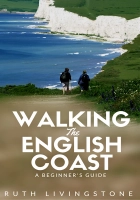
My book: Walking the English Coast
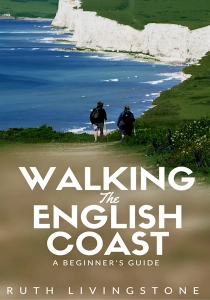
Click for further information
Winfield’s Award

Killer Cows: Cattle Safety
Normal route, same cows – this time was dangerous

Report Number: 1315Date: 29/09/26Location: South Mundham at the bottom of Fisher Lane, West SussexGroup of black and white cattle, single walker with dog on lead Alice’s Report: “As I was walking on the path towards the exit of the field the cows were a fair distance from me. I have walked this route many times […]
3 incidents – Different counties, different cattle, with and without dog
Each report below details a moment when walkers proceeding along public footpaths were confronted by cattle. Each must be regarded as a near miss as any close encounter can cause awful injuries. Nicky dropped the lead when the bullocks charged and they ran after the dog allowing her to escape unharmed. Matt was chased by […]
Rachel and crew saved by horses
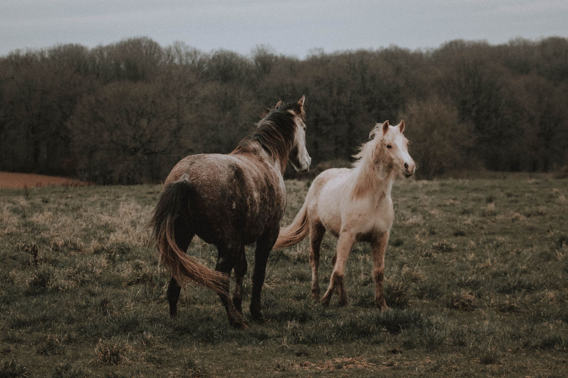
Report: 1310 Date: 04/09/26 Location: Mount Pleasant, Upton Cheyney, Nr Bristol Cows with calves in the field Small group of walkers with dog on lead Rachel’s Report: “We walked past the cows ( around 30-50) on the footpath slowly, taking a wide birth around them. When we were about 10 metres past them they started […]
Category Archives: 17 North West England
283pm Askam to Kirkby-in-Furness
The path is clear and dry… until I come to a point where the bank has been destroyed. Continue reading
283am Barrow to Askam-in-Furness
Marsh, sticky mud, pillboxes, slag heaps, and then a surprisingly glorious stretch of empty beach. Continue reading
282 Walney Island (North)
The empty beach stretches out to the distant sea, and beyond that rows of wind turbines wave like ghostly figures on the horizon.
Continue reading
281 Walney Island (South)
DANGER says a nearby sign. SOFT SAND AND INCOMING TIDES Continue reading
280 Baycliff to Barrow-in-Furness
Progress is slow. Large boulders have to be climbed over, while shifting shingle underfoot makes every step a balancing act. But I make it to the next little headland Continue reading
279pm Ulverston Canal to Baycliff
Isn’t it funny how you always mull over the route you didn’t take and wonder whether you should have gone that way after all? Continue reading
279a Greenodd to Ulverston Canal
I lose the tip of my walking pole in deep mud, and nearly lose my boots too. Continue reading
278 Cark to Greenodd
Everything seems wonderful, and effortless, and you could carry on hiking for ever. Continue reading
277 Grange-over-Sands to Cark
I climb up Humphrey Head and discover its panoramic views. Continue reading
276 Arnside to Grange-over-Sands
The train takes the short route, but I have to go the long way round. Continue reading