
[This walk was completed on Wednesday, 14th May, 2025]
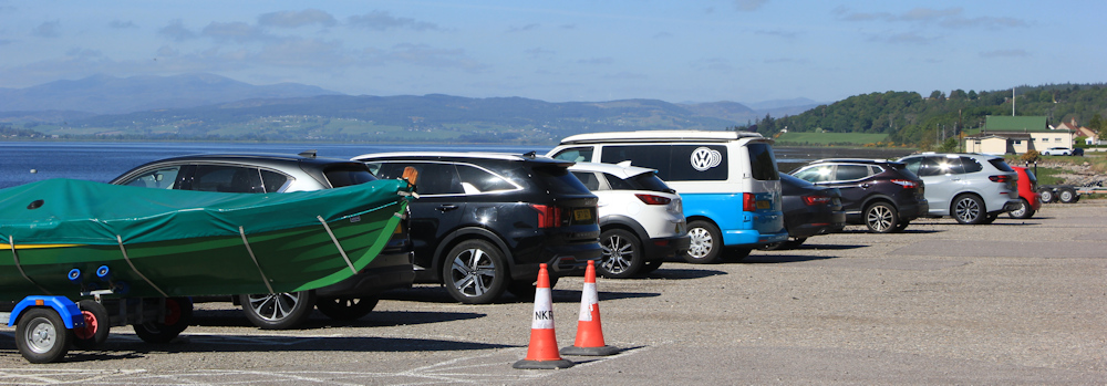
What a difference a day makes! Yesterday was dull, cold and wet. Today is bright and sunny. Yippee! I drive back to North Kessock, and park my van in almost the exact same place as yesterday. But, today, I’m going to walk.
First, I must catch a bus back to Munlochy. I stand at the bus stop, and the bus I want – the 26A again – trundles past… without stopping and on the wrong side of the road. Oh, no!
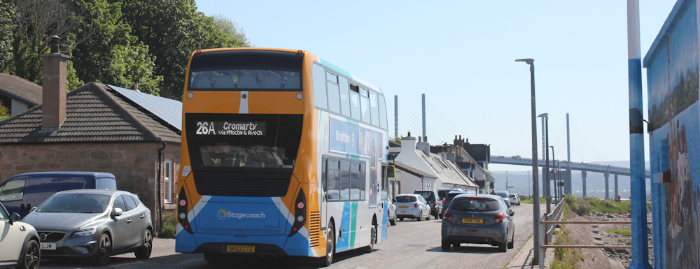
But it is only turning round at the end of the road. Whew.
The bus returns, I clamber on, and so I end up back in Munlochy. Today I’m heading southwards along the B9161, but hope to find a Core Path to take me along the shore to Kilmuir, and then to North Kessock.
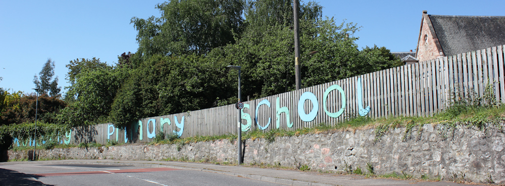
This time, I see a bit more of the village of Munlochy. Very pleasant. I like the sign for the primary school. Looks almost homemade.
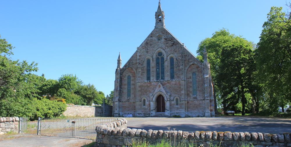
I also pass this impressive church – so large for a small place. I assume it is disused and used for something else now, but a nearby sign tells me it is Knockbain Parish Church, “visitors welcome”.
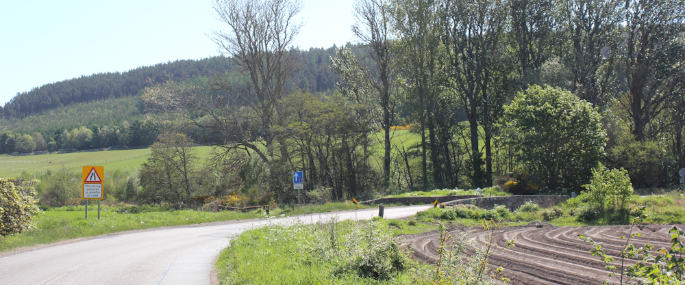
I pass a sign for Munlochy Mains, and now I’m heading out of the village. Ploughed field to my right. A lovely old stone bridge ahead, too narrow for two-way traffic. Luckily, this is a quiet road.
On the other side of the bridge is a finger post sign, and I am surprised to see the familiar stumpy black arrow markers. I’m back on the John o’Groats Trail. Didn’t realise this was its route too.
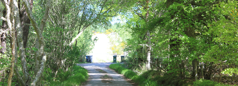
The trail marker points down a private road to my left. Yes, that was my plan too. I walk through woodland, past a private car park belonging to a wild-fowlers society, and then the private road crosses a cattle grid and becomes a definite farm track.
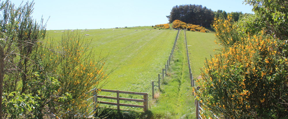
There are horses in the fields, but no cattle (thank goodness). The road begins to climb a hill, and then I see a little path heading off to the left and running closer to the water. Is this the Core Path / JOG trail?
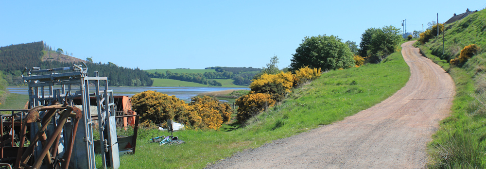
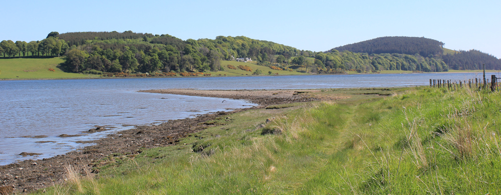
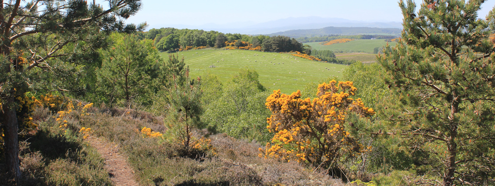
Well, it’s a good path, although a bit muddy in places. I’m at the top of Munlochy Bay.
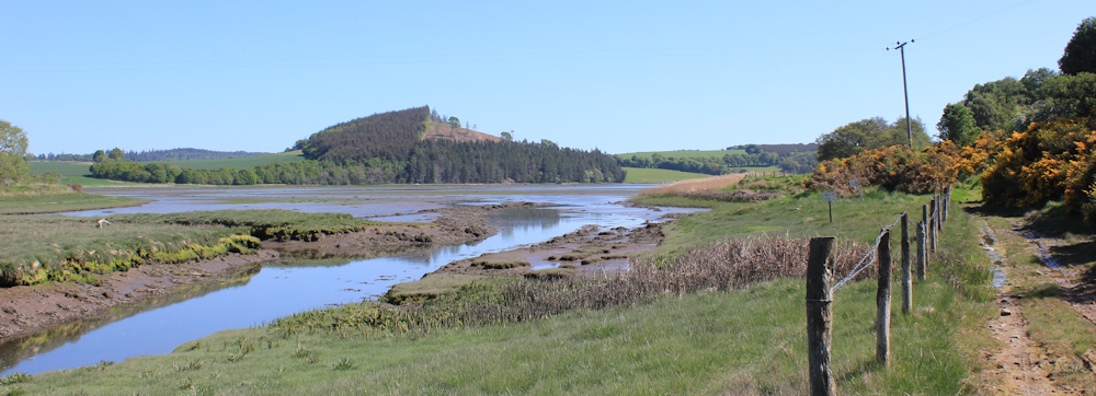
How nice to see the Bay without a sea mist shrouding the view. There, on the other side, is the old railway track where I walked the day before yesterday. I can see vehicles in the car park.
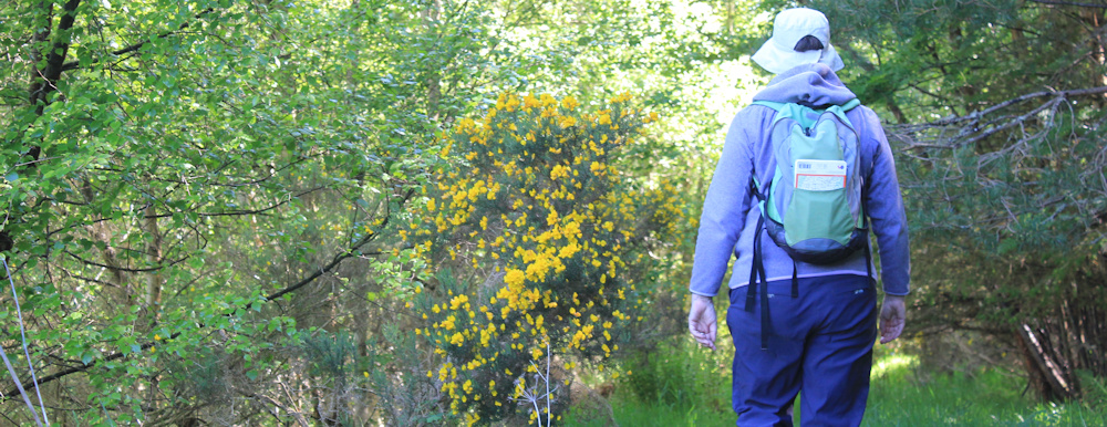
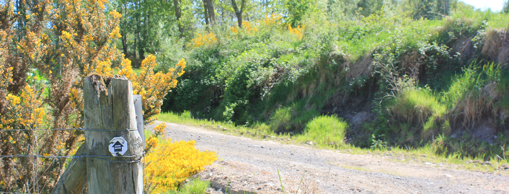
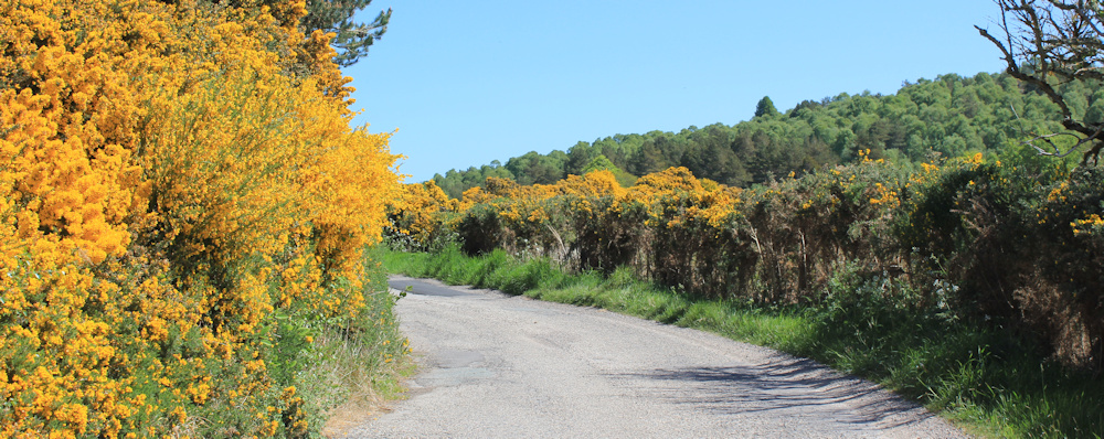
My path leaves the water to follow a raised bank, and I’m glad to get clear of the mud. Gorse is in bloom. The grass is a bright, fresh green. And the trees are in full leaf now. A lovely walk, so far.
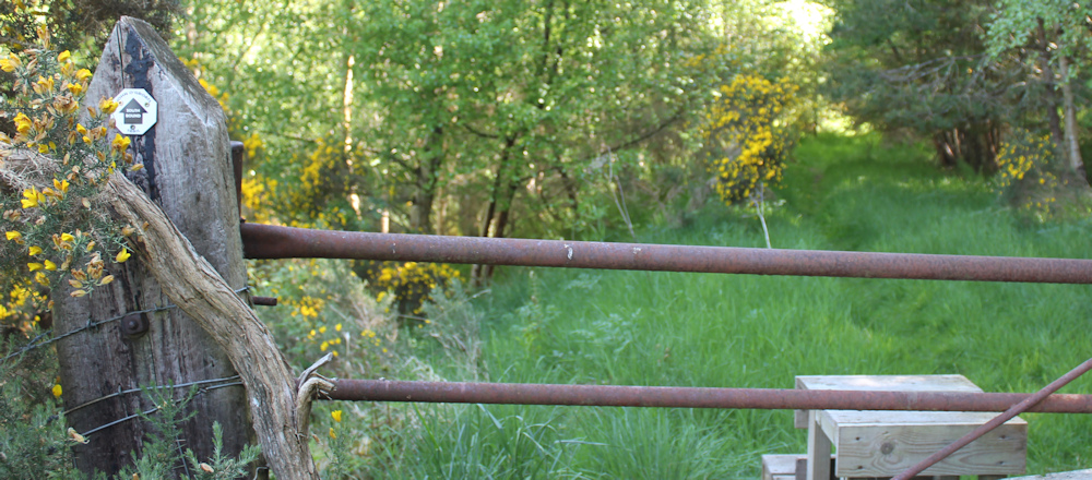
Here’s a helpful stile to get me over an old gate. I’m relieved to see the familiar John o’Groats Trail sign. Yes, I must be on the right path.
I balance my Canon camera on the stile, set the timer, and take a self-portrait. I don’t turn around in time for the lens click, so I take another one, that ends up more successful. But, I prefer this view of my back – it’s definitely my best side!
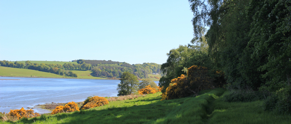
The path comes out of the trees, and dips down to the water again. I can see Ord Hill across the Bay, and remember the beautiful walk I did on Monday.
One of the joys of coastal walking has been the delightful places I’ve walked through – places that scarcely appear on a map and, certainly, places I would have never visited if they hadn’t been on the coast. Scotland really is beautiful
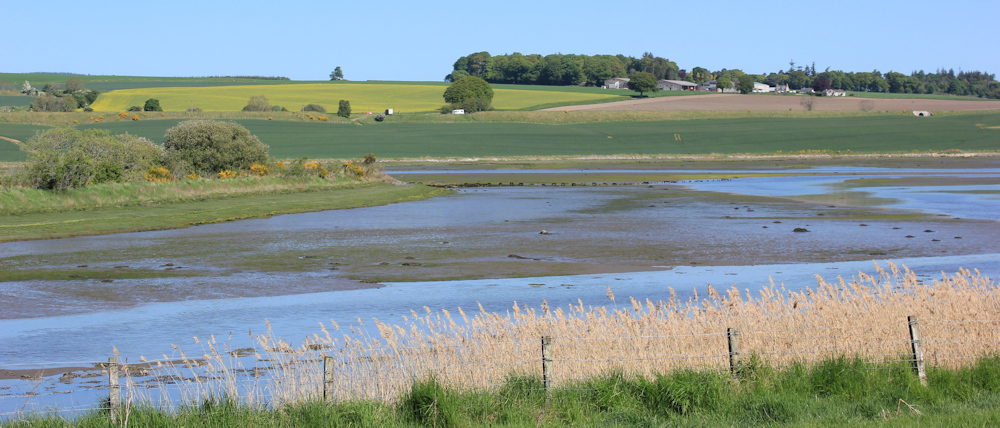
The path now bends away from the shore, and begins to climb. Looking at the map, I know I’m still following the official Core Path, and this should take me arund the eastward shoulder of Drumderfit Hill. (Drumderfit – what a name!)
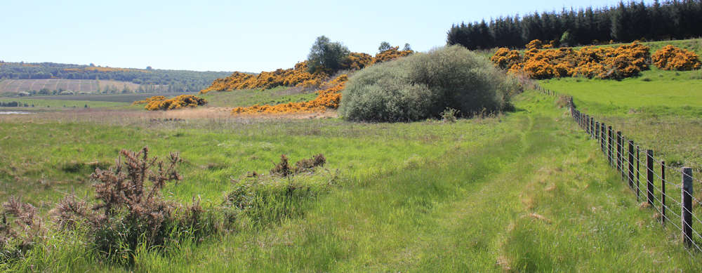
A sign on the fence says “Walk across field at high tide”. Silly me. I forgot to check the tides, although it never occurred to me that this path might be tidal.
At the top of the climb, I see a figure sitting in the grass by the side of the path. I interrupt his picnic lunch for a chat.
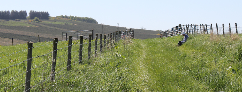
Turns out he is local man and a keen walker, and he seems delighted to be able to tell me the best route to take round to Kilmuir.
“If it was low tide, you could follow the shore,” he says. “But it looks like the tide is too high now.” He tells me to head for Craigiehowe Mains, and advises I avoid the official JOG Trail path, because it is too overgrown. “Take the next path you see, and it will take you around Loch Lundie to Kilmuir.”
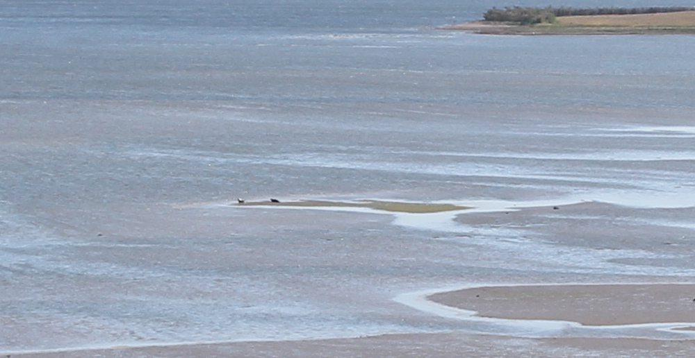
He also points out some seals on the sandbank below us. I would have missed them otherwise. Sadly, they are too far away for decent photographs.
I follow the path towards Craigiehowe Mains. The route is well signed with the JOG Trail stickers, and the path soon becomes an established track.
I walk through farmland, and through some delightful young woodland…
… past a Xmas tree plantation, and past the entrance to Craigiehowe Main.
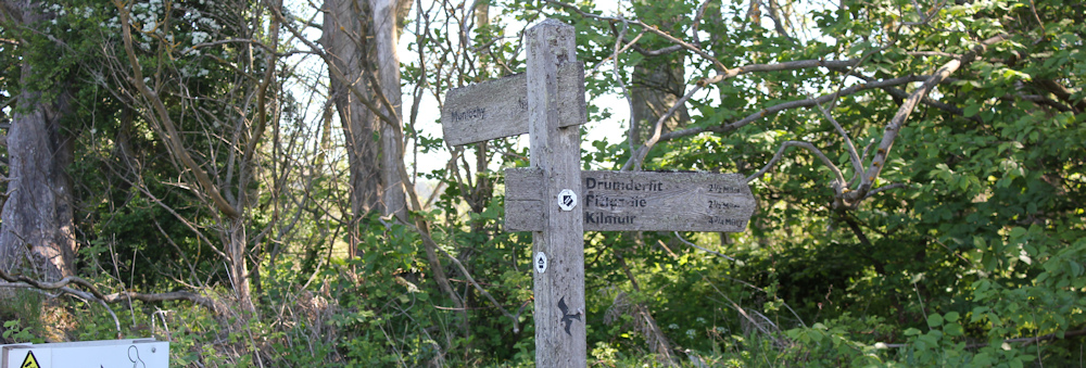
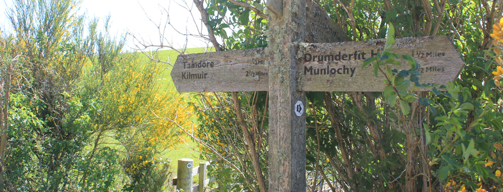
The track turns into a road, and I reach another fingerpost. Turn right for Munlochy, left for Taindore and Kilmuir, or straight on for the JOG trail.
The JOG Trail looks tempting, and is certainly not overgrown at this point.
I check my map. If I follow the road up to Taindore – a tiny place consisting of maybe just one house – I should be able to find a track down to the shore. There, the ground seems higher and I shouldn’t have to worry about tidal flooding of the path.
It seems a good plan. I turn left towards Taindore.
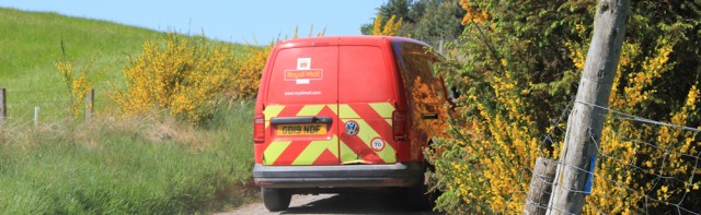
A post office van overtakes me, and the road is barely wide enough for it to pass by. I love how those little red vans get everywhere, even to a non-place like Taindore.
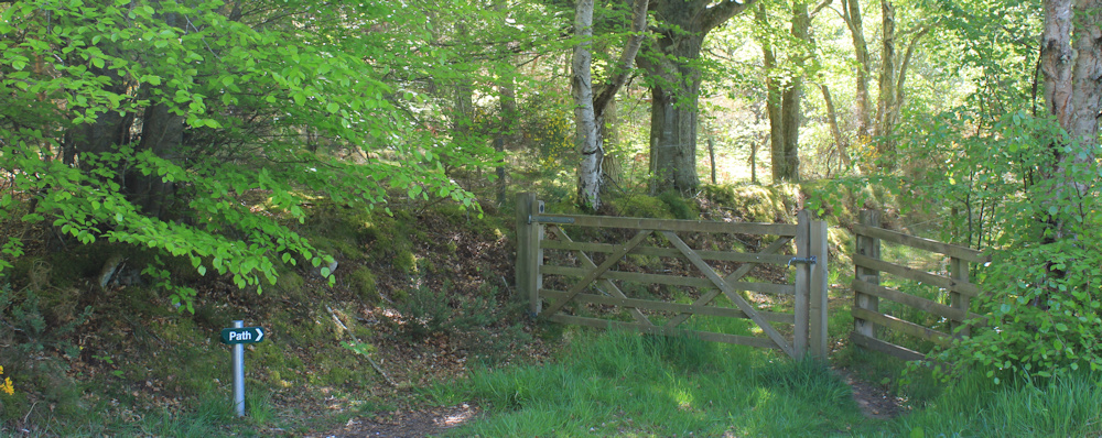
A little path sign takes me by surprise – very clear and very new. But I wasn’t expecting a path here. And then I remember my conversation with my fellow walker. This must be the path he advised me to take instead of the official JOG Trail route. Should I take it?
But, I don’t want to miss the chance to head down to the coast. So, I decide to stay on the road to Taindore.
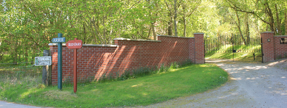
It may have been a good plan in my head, but it turned out not to be a good plan in reality. The road ends at a stern brick wall and a high gate. There are entrances to a few other properties, all similarly forbidding.
To the right, I see a possible route through the trees. If I go down there, hopefully I will soon find a track down the hill to the shore.
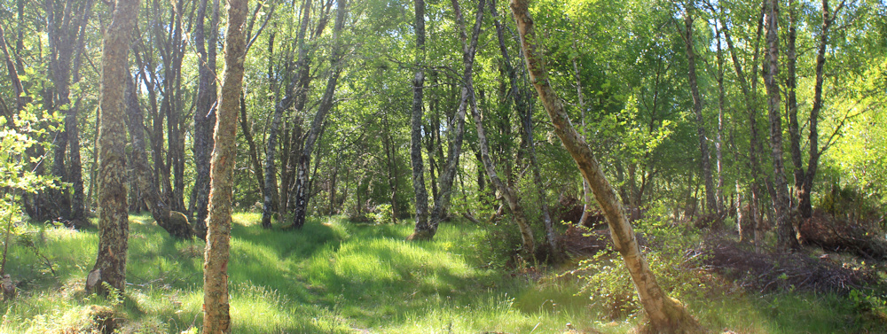
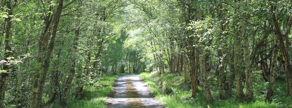
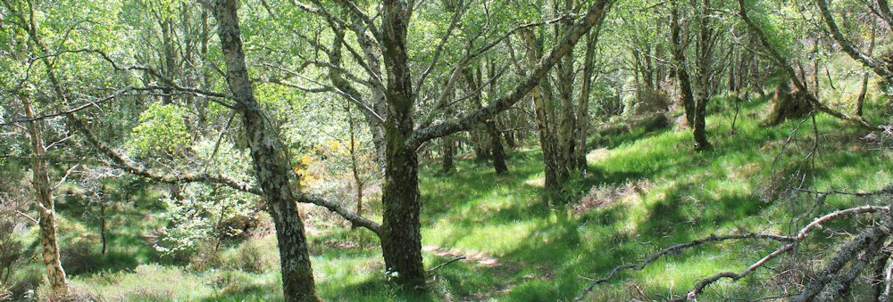
It turns into another delighful walk, through a young woodland, following a narrow – but definite – path among the trees.
I never do find a track down to the shore, because the path ends up climbing higher. I’m lost really, but at least I’m heading in vaguely the right direction for Kilmuir.
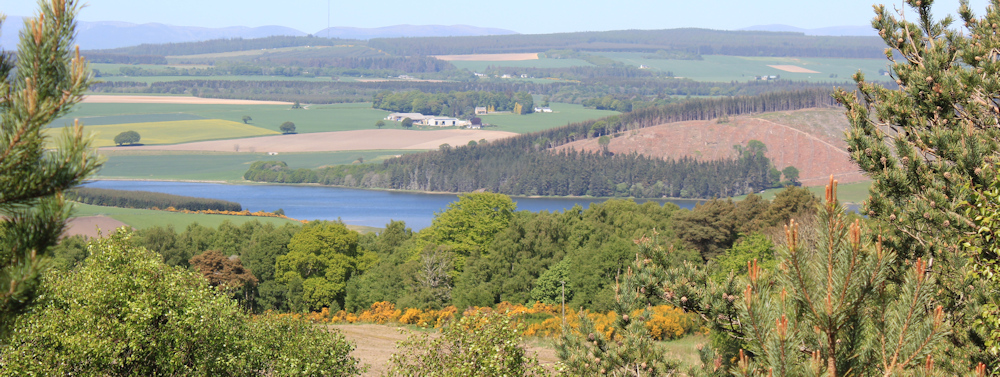
At the top of the hill, the trees thin out, and I have great views down to Munlochy Bay. There’s Ord Hill again, and I can see the section where trees were felled, the ugly clear-felling that I noticed on Monday’s walk through the area.
It’s beautiful up here. Sun shining. Air clear. I stop to enjoy the view, before following the path as it heads southwards and downwards.
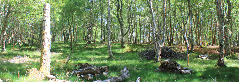
Through more young woodland. Mainly silver birches. Dappled light falling through the leaves. The only sounds are the soft tread of my shoes, and the birds singing.
I reach a clearing where some logs lie piled on the ground. It’s nearly 3pm and I’m hungry. Time for lunch – and the logs make a handy (if somewhat uncomfortable) bench.
[To be continued…]
Route so far this morning:


