[This walk was completed on Wednesday, 14th May, 2025]
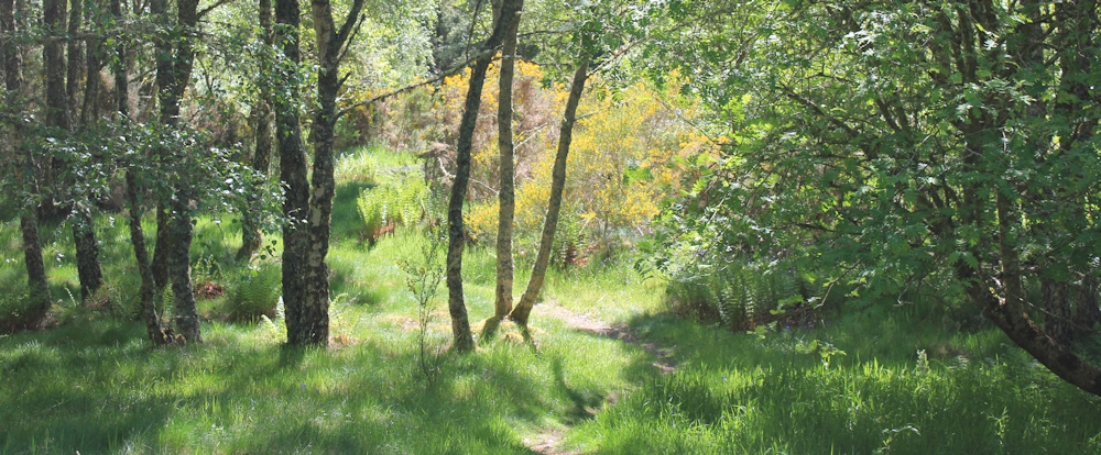
After my picnic lunch, I heave my rucksack back on my shoulders, and set off through the woodland, following the little path.
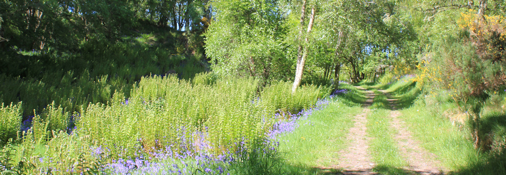
I soon emerge onto a track – a surprisingly broad space after my narrow winding path through the trees. Love the bluebells lining the verges. The track isn’t marked on my map, but I guess this must be the right way to go.
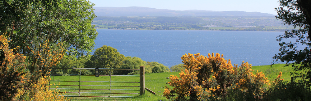
And the track emerges onto… a field! That’s a surprise, but just look at the view. The Moray Firth below me and a coastline in the distance. Tomorrow, with a bit of luck, I should be walking over there.
I walk down the field and find a bench in the middle of nowhere. Tempting to stop for a rest (I get tired so easily these days), but I’ve only just stopped for lunch. Onwards.
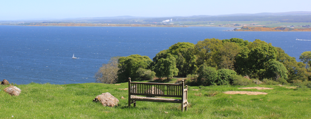
The field slopes steeply down the hill, and any semblance of a path has disappeared. Which way do I go? Then, down the hill to my right, I spot a gate. That seems to be the only exit out of the field – the only one I can see anyway – so I head for it.
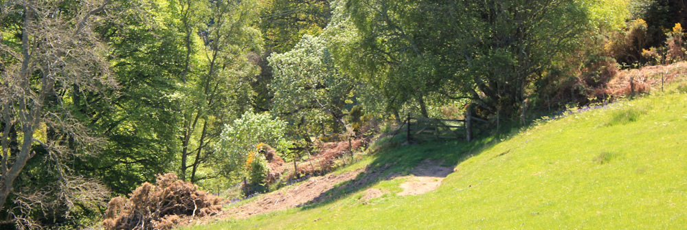
Through the gate, and I’m in a gorgeous tunnel of greenery. I think this must be an ancient road. It has that sunken lane, or holloway, feel to it.
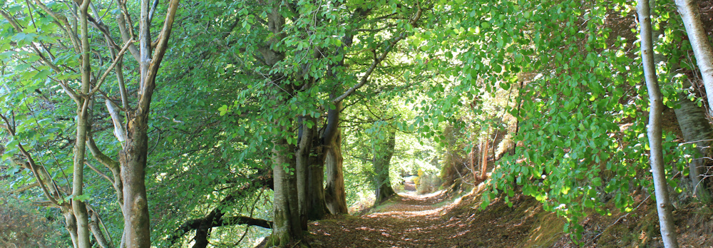
I very much enjoy this section of the walk. It’s downhill for a start, and the way is clear, although I have to keep bending to escape being hit by low-hanging branches. And I love walking a route that feels very, very old.
All too soon, I emerge onto a small lane. Turn left and follow the road downhill…
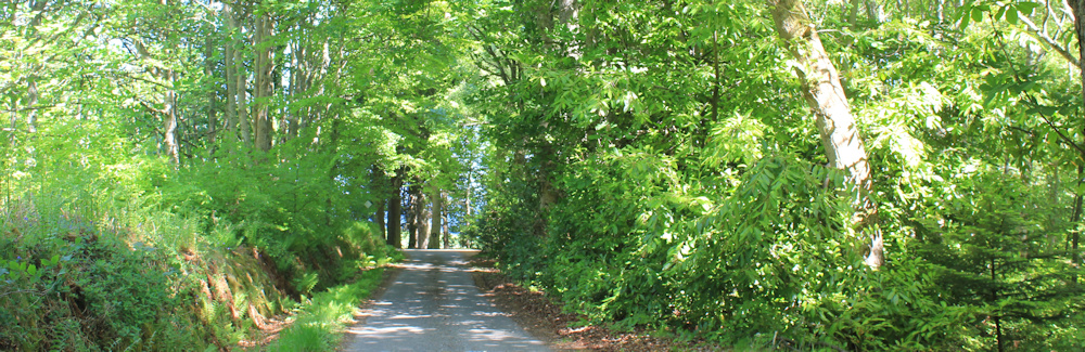
… until, finally, I reach the shore. Yes, I’m finally back beside the sea again.
A finger post gives me a choice. Left to Kilmuir (oh, I thought it would be right to Kilmuir). Right to North Kessock and Ord Hill.
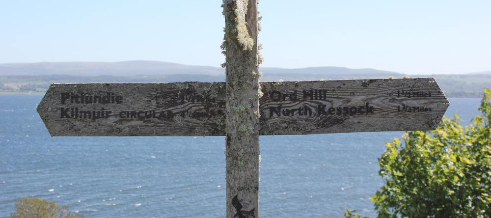
I stand there for a while feeling confused. Pull out my Garmin and check where I am. Kilmuir is definitely to my right, not to my left. But I don’t want Ord Hill – that’s back across Munlochy Bay! What’s going on?
Decide to trust my Garmin and, in any case, I definitely want to go to North Kessock, where I left my van this morning. So I turn right, and follow the road down to a little parking area.
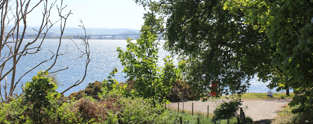
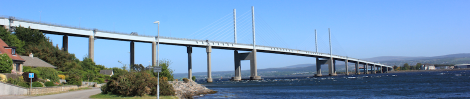
What a great view of the bridge! Can’t wait to walk across it. Also love the old red phone box, now being used as… can you guess?
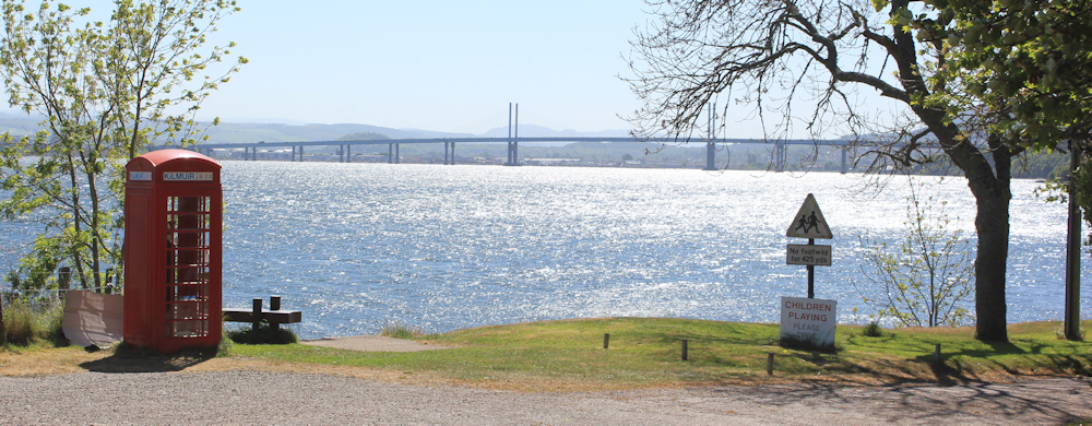
Yes… a book exchange.
I walk along the green bank beside the road, which leads me into a pretty village. This is definitely Kilmuir. And it’s larger than I imagined.
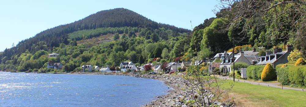
Check my map, and the pointy hill ahead is actually called Ord Hill too. There are two of them only a few miles apart. How weird.
At the end of the village, it is actually quite hard to spot the coastal path. But this might be it. It goes under somebody’s deck.
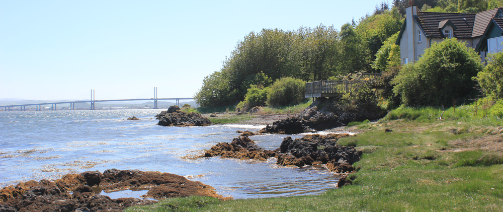
I soon realise the path has almost disappeared under the incoming tide. Is this it?
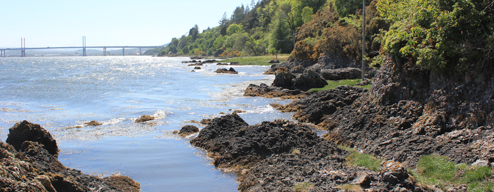
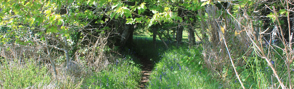
Forward progress becomes impossible, unless I want to wade through sea water. Luckily, I spot a path that heads inland, passing under the shade of trees. Lined by bluebells.
This inland path loops around and takes me back to the shore, where the coastal path has reappeared above the high-tide line. Am I getting closer to the bridge? It still seems a long way ahead.
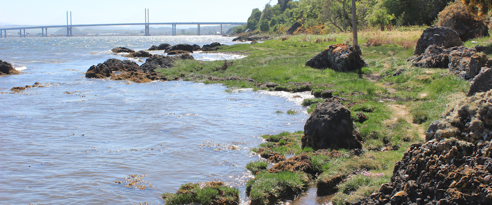
I don’t take many photographs of this part of the walk, because I’m concentrating too hard on finding a dry route.
And, I become anxious. The path is a vague, thin track, passing close to the water and hemmed in by a low cliff. Will I be able to get through, or will I have to backtrack and follow the road? And, if I do try to backtrack, will the water be too high now for me to get back?
Scrambling over some rocks, I follow the remnants of the path around a blind corner…
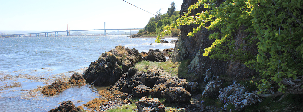
… and end up walking through a wide green area. No fear of getting my feet wet now. A sign ahead is quite emphatic. This is where the coast path ends, and I must head inland and join the road.
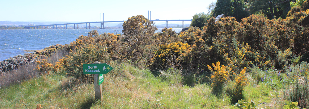
I look at the sign pointing back the way I’ve come. “Kilmuir. Not safe at high tide.”
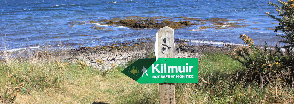
NOW you tell me!!! Too late! But at least I made it through without getting my feet wet.
The path goes inland to skirt around some seaside properties. Nice to live so close to the water, but what a shame the path doesn’t continue along the coast.
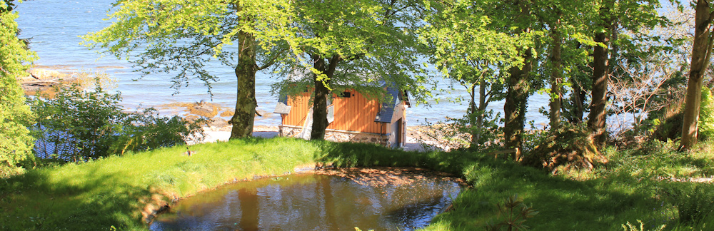
I join a little lane. Very quiet. Walking through woodland at first, and then back to the waterside and past a row of bungalows. I’m nearly at the bridge.
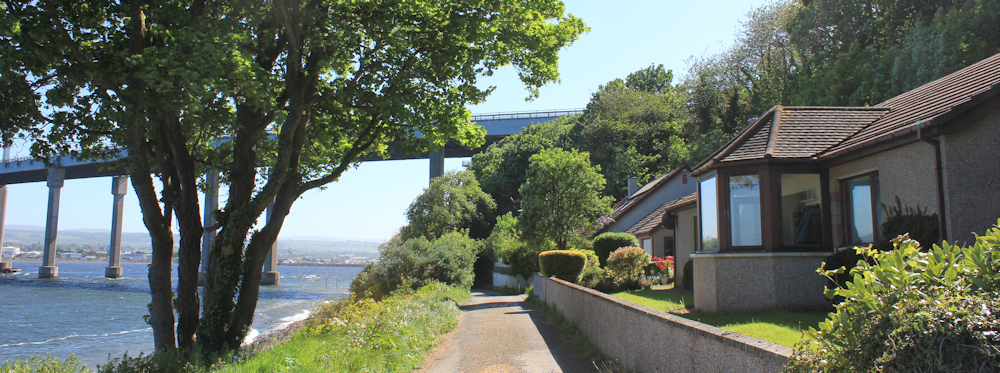
When I first came to Inverness many years ago, I came to work on a raspberry farm. We lived in tents, slept on the ground, had a single cold-water shower (and it really was cold!) shared by all of us. Every few days, a bus would bring us into Inverness to use the public bath house. I remember high ceilings, walls covered in tiles, and the bliss of sitting in a deep, hot bath.
The raspberry farm must have been somewhere around here, or maybe on the Black Isle – although I haven’t seen any raspberry canes. But the bridge didn’t exist in those day. So our trips to the Inverness baths took forty minutes or more by road.
Passing under a large bridge always fills me with awe. The noise of traffic above my head is a ferocious thunder. I stop and take photographs of the underside of the structure.
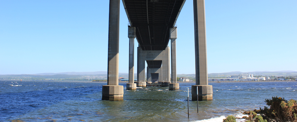
We humans are amazing. Look at this colossal thing we have built.
On the other side of the bridge, I take some more photographs, and am surprised to see a ferry battling through the choppy water. Is it a ferry? Or a pleasure boat?
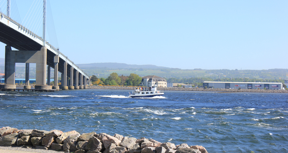
This is, possibly, the best photo I take of the bridge. I’m really looking forward to walking across it tomorrow.
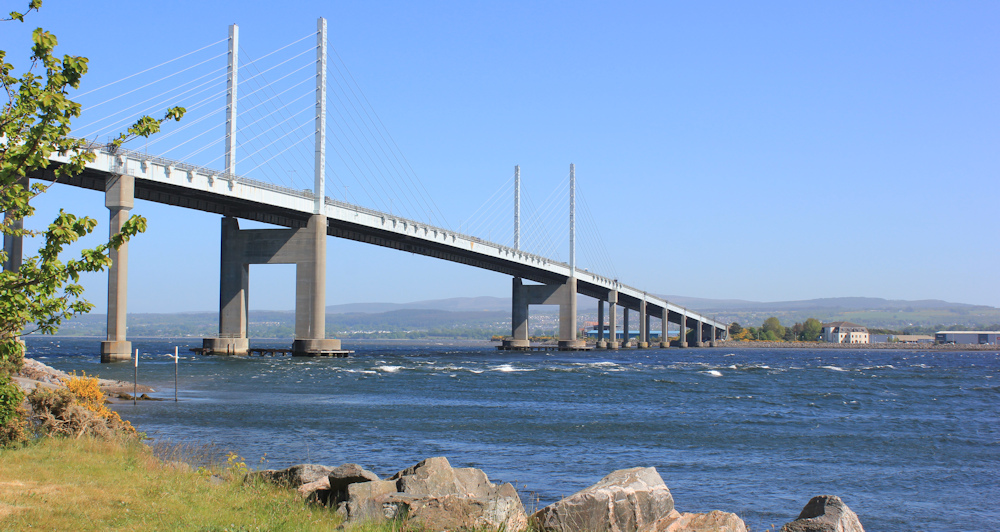
But, today, I’m heading back to my van.
The last few hundred yards of any walk always seem to last for ever. I’m really tired now. Why did I park so far from the bridge? Ah… there is the van, dead ahead.

Tomorrow should be a great day. I’m crossing the Kessock Bridge – an iconic landmark – and leaving the far north behind me. Inverness, here I come.
Miles walked today = 8 miles
Total distance around coast = 5,251 miles
Route today:






I’m tempted to holiday there from your lovely photos. I hope you are feeling well.
I’m very well, thank you. The Black Isle is lovely, but gentle countryside. If you really want mountains, I recommend the north west coast. Scotland also has a surprisingly beautiful south coast too.
I always feel inspired when I read that you had a good day. I look forward to the bridge walk.
what a difference the sun makes
I felt the same when we walked under one of the two Severn bridges – awe……..didn’t feel quite as much in tune when we walked over the other one in blinding white heat – never been so parched in my life!
That bridge is a loooong walk.
I feel the same about the old lanes. I remember that they were created as practical links for moving goods and the like, and I imagine the traders and pedlars plodding along with pack animals and the contrast between that and our present day recreational usage.
I lked “…ferocious thunder.”
Just wonderful to feel that connection with all those previous generations of walkers and travellers.
A fine and varied selection of photos for this walk Ruth. Woodland often isn’t my 1st choice for walking, but you’ve got the light right on this walk and the bridge is framed perfectly for the photo you like. Cheers Russ
Thank you Russ
I try to remember: I’m not really lost, just not sure where I am.
I find out I still get lost (or am walking on the wrong path), but find out sooner! With age comes wisdom… perhaps?
“With age comes wisdom… perhaps?”
Definitely not in my case Conrad 🙄
Hi,Ruth, I don’t know you but have been following your posts for almost as long as you have been walking the coast of Britain, through good times and not so good, thus think of you as a friend. I have really enjoyed this last bunch of walks after such a lengthy break. Looking forward to the next episode. I’m in my 80’s and hope to be still around to see finish, so keep going please.
MikeH
Oh Mike, thank you so much for posting this.