[This walk was completed on Wednesday 27th May 2026]
A new year of coastal walking, and I return to Balloch to pick up my route from the end of last year’s walk. Instead of cycling along the dangerous A96, I park at a place called Petty Church and catch the bus. It is a sure sign that I have left the wild Highlands behind me. There are actual buses!
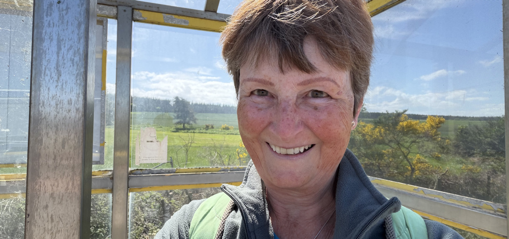
After the bus drops me off, I have to walk some distance through Balloch to get back to the Community Woodland and the start of today’s walk. England is currently sweltering in a heatwave. It is cooler in Scotland, but still a lovely day.
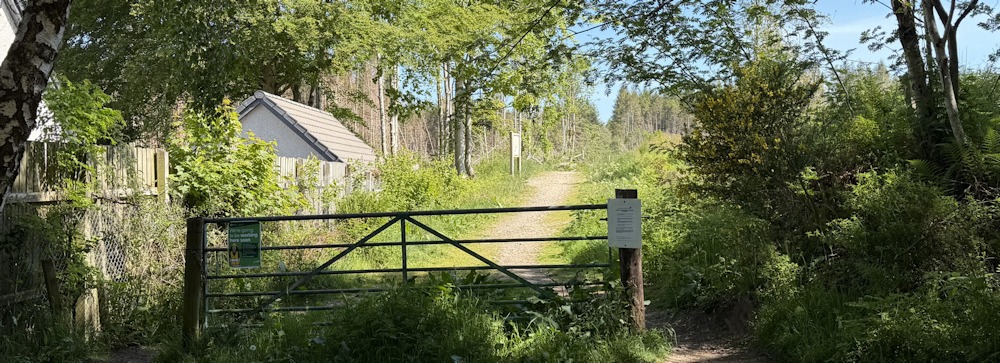
I’ve been soooo looking forward to getting back on the trail. Just a short walk planned today.
To avoid the dangerous A96, I researched this route by doing Google searches for walking and cycling routes. There is clearly a footpath right through these woods – and the woods are called Culloden Forest on the map. An actual forest! I’m looking forward to a day among the trees.
But the reality turns out to be somewhat disapointing.
Lovely spring flowers line the track, but where are all the trees? Ah, looks like one of those boring pine forests ahead. Oh dear.
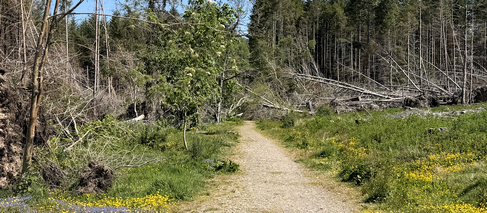
The track leads straight into the forest, but the way is obscured by fallen trees. It must have been a bad winter in Scotland.
I battle through the obstruction, but the way never gets clearer. Crawl under fallen trunks, climb down into a water-filled ditch, scramble up the other side… only to be faced with an almost impenatrable barrier of crossed branches and prickly twigs.
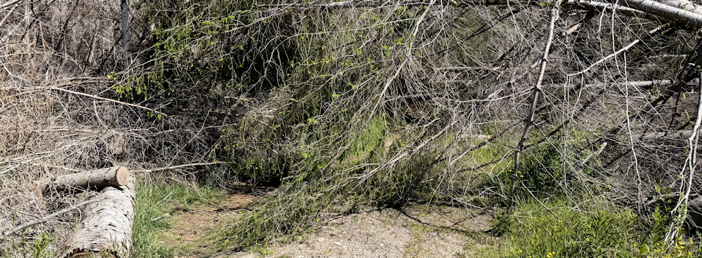
I’ve only progressed a few yards and am getting nowhere fast.
Behind me, some cyclists have arrived at the barrier of fallen trees. They probably have a great view of my backside as I thrash around in the foliage, and I hear them discussing what to do. Wisely, they decide not to follow me. Who could get a bike through here anyway?
My back pack gets caught under a pointed branch, and I am nearly wrenched to the ground. Oh dear. This is getting dangerous. Defeated, I decide to turn back.
Now, my head is filled with possible alternative scenarios, all of which involve road walking and extensive detours. But, coming back out into the sunlight, I realise there is a path leading uphill across some rough, open ground, and skirting the messy tumbled pine trees.
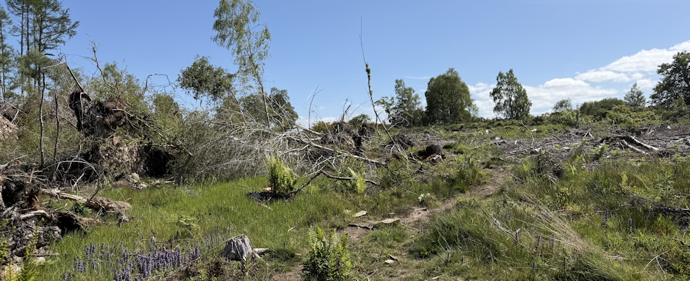
The path is going the wrong way, but my only other choice is to turn back to Balloch. So, I decide to follow it for a while and see where it leads.
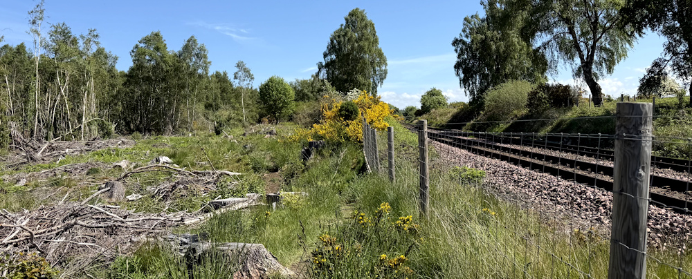
At the top of the slope, the way is blocked by railway tracks. But the path turns to the left, heading along the line of the railway fence. It’s rough underfoot and a bit vague, but definitely a path.
I stumble on.
Further along, the trees on my left change from pine to birch, and I spot an obvious path going down through the woods. Ah, this is more like it. I must have bypassed all those fallen pines by now, and surely this path will rejoin my original track.
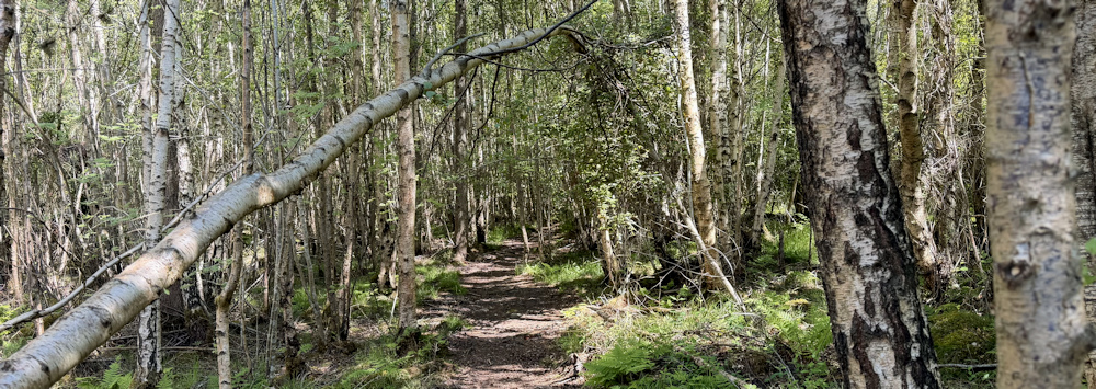
The path takes me gently downwards. At one point, I have to climb down to a stream and jump across the water, before climbing up the other side and regaining the path. A bit rougher than I anticipated, but it is clearly a well-used route.
I become dimly aware of machinery noise in the forest below me. Or it might be a farmer on a tractor in a field on the other side of the trees?
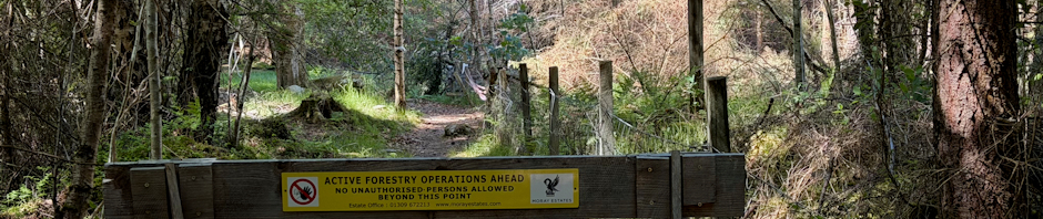
Sadly, the reason for the noise soon becomes clear. They are logging in the forest below here. And the path is closed. NO UNAUTHORISED PERSONS ALLOWED BEYOND THIS POINT, warns a sign on a barricade.
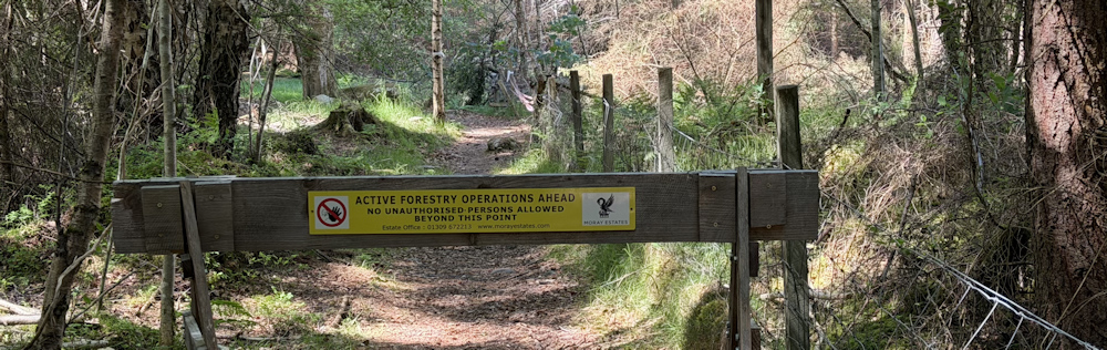
Sheesh! Why couldn’t you have told me that at the top of the hill?
There is nothing else to do but turn around and trudge back up to rejoin the railway line. This much-anticipated walk is turning into a big disappointment. And I still have no idea if I will be able to go forward in the right direction and get back to Petty Church.
But, just as I’m sinking into a bleak mood, the path swings round to the left, leaving the train tracks and heading back into the trees. Half expecting to meet another barrier, I follow it… and end up walking through lovely green glades of Scots Pines, with plenty of dappled sunlight falling through their sparse brances.
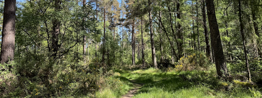
The narrow path joins a system of wide forestry tracks. I check my map and my position on my Garmin. Yes, I am really making progress and heading in – vaguely – the right direction.
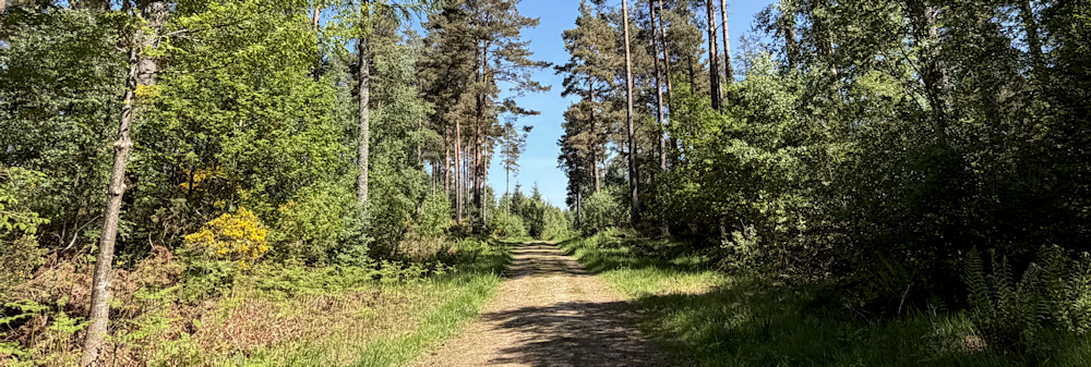
The sound of machinery has faded. Everything is going to be OK, after all.
The tracks have branches and crossroads – and their routes only correspond roughly with my map. But I’m optimistic now. I’m going to make it back to Petty Church.
Hungry now, I keep an eye out for fallen branches that might provide a bench, but can’t see any. I do spot this handy stone by the side of the track. Swing my little rucksack off my shoulders and sit down to eat my picnic lunch.
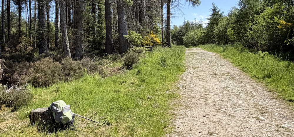
It’s hot today. The walk has turned out to be longer than I expected, and I begin to worry that I haven’t brought enough water with me.
The forest suddenly seems busy. I’m passed by a series of dog walkers, and a jogger.
After eating, I carry on through the forest. I’ve been steadily climbing, but the ground flattens out. I come across forks in the tracks, and pick the routes that will take me closest to the coast.
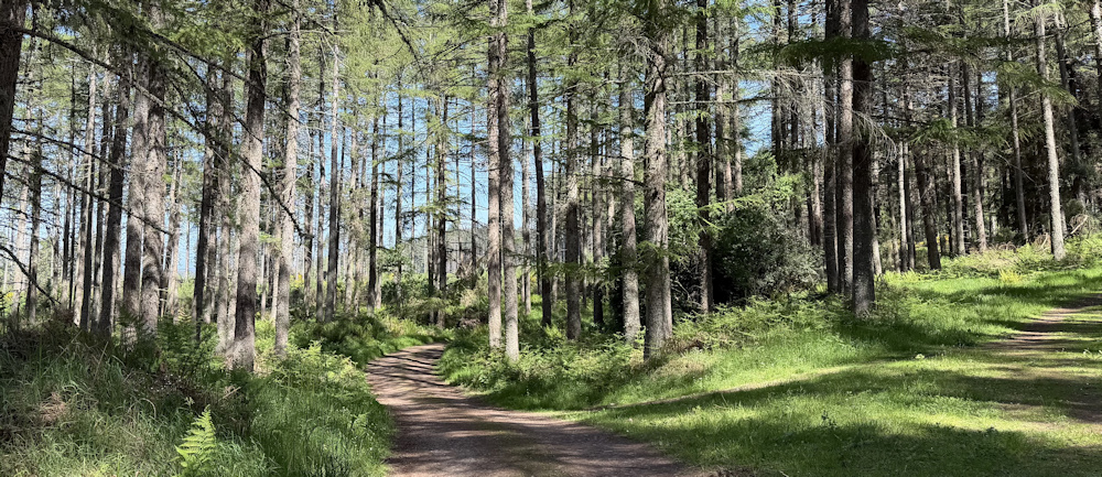
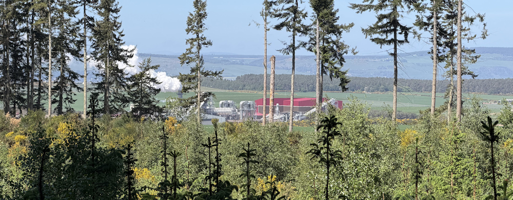
Eventually, I reach the northern edge of the woods, and can see the coast through the gaps in the trees. There is a factory of some sort below me… and the sea in the distance.
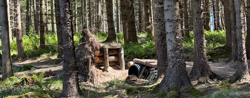
To my right, among the trees, are a series of obstructions. At first I think it is the remains of forestry operations – but then I realise they are mountain-bike courses. Ramps and jumps. Look like fun. Wish I was 15 again.
As if on cue, a cyclist comes past me. He isn’t using the jumps though – a mature, older cyclist, he sticks to the track.
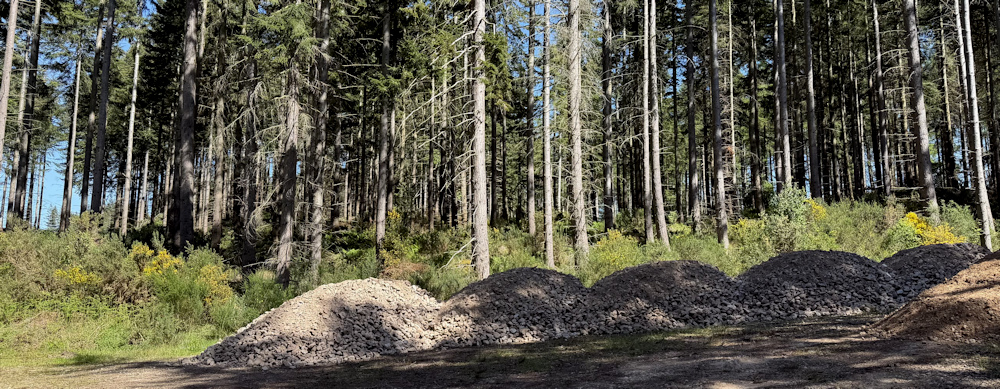
The track I’m walking along is wide, with rough, coarse gravel underfoot. Newly made, I think. I pass some leftover piles of the gravel, presumably used to make the track.
Well, despite being more of a road than a path, this has become a really very pleasant walk.
I realise I’m getting close to the end of the trees, and I stop to take photographs of a mass of bluebells growing on a raised mound. Stoop down to check and – yes – these are true, native bluebells.
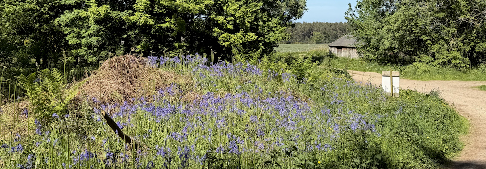
One of the joys of walking in Scotland is that the season lags behind the season at home, and I get to experience spring all over again. And the bluebells tend to be native ones (I can’t call them English bluebells in Scotland, although that is what they are!). Scotland seems to have mainly avoided the invading armies of Spanish bluebells that have taken over so many of our natural bluebell colonies.
I’ve reached the end of Culloden Forest and, reluctantly, must join a road.
But, this is hardly a road. A delightful little lane. Going downhill with woodland on my left, open fields on my right.

I’ve reached a place called Tornagrain. A smattering of houses. Some proud Scottish flags.
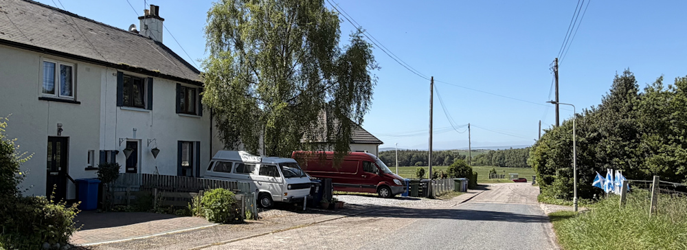
And here, my little lane joins the busy A96, but there is a pavement connecting Tornagrain – and its bus stops – with Petty Church. My main problem is crossing the road. The vehicles certainly bomb along here at great speeds.
In the Church’s car park, I find my car. It really is hot, today, and I’m glad I parked my blue Berlingo in the shade under the tree. I still have some water left, too.
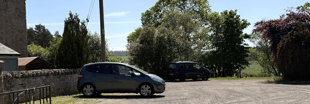
Observant readers will realise I have travelled in a car, and not in my camper van. Why?
Because, I have reached more civilised parts of Scotland, and places to stay are easier to find. In addition, I’ve just turned 70 this year and I’ve decided I need a bit more comfort. Packing up the van every morning, and remaking the bed every evening, is quite a physical feat. (The bed in the van was very stiff and I had to literally leap on it with all my weight to get the damn thing to lie flat.)
I still have the van, safe in Manchester. This trip is an experiment to see if I can manage with just a car – hence I bought a Berlingo. Not the prettiest car, but big enough to take the bike with me.
My other big experiment on this trip is this: I’ve left my trusty Canon camera back home too. I’m using my new iPhone to take the photos, and they do seem pretty good… but the iPhone is not so good with photographing buildings, which seem to lean in a terrifying way.
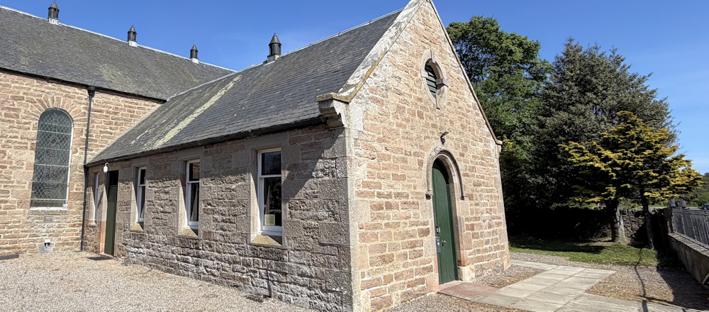
The photogrph is above is of the Petty Church. I don’t know what I was expecting when I planned to park here… but was somewhat surprised to find that Petty Church is, indeed, a church!
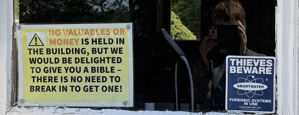
It is sad to see the signs about theft in the church’s window. But at least they have a sense of humour!
Before I leave, I check the lane I am going to walk down tomorrow. It’s a dead end… “Except cycles” says the sign.
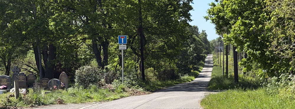
Good to know. If a cyclist can get through, then so can I.
Today was a challenging day from an emotional point of view. My first walk of the year. Fallen trees and unexpected deviations. Tomorrow will be easier.
[Turns out tomorrow is NOT easier. Not easier at all!]
Miles walked today = 5 miles
Total distance around coast = 5,265.5 miles
Route today:






Good to see you back. You are but a youngster at 70.
Glad you battled through the forest. Who was the comedian who said, “Eeh, it’s turned out nice again”?
I can’t believe I’m 70. When you’re young, you somehow think you will always stay young!
You will do. It’s all in the head.
Myriad tracks shown on Open Street Map:
https://www.openstreetmap.org/search?query=balloch&zoom=16&minlon=0.39447784423828125&minlat=51.3871153816386&maxlon=0.4408907890319825&maxlat=51.40587201138521#map=15/57.50684/-4.08286
Yes. Good tracks on the map. But closed by tree felling operations.
Welcome back Ruth! That section between Inverness and Fort George is a devil whichever way you go. Were you using the wide-angle lense for the church shot? That will make things lean into the centre.
It was very difficult to decide what to do… but I decided to avoid walking along that busy road, even if it meant a more inland route. I was using the ordinary camera on my iPhone, and they looked OK on the tiny screen. It was a shock to see how distorted the images were once I got home and got them loaded onto my PC.
It’s a real pleasure to see that you are back in 2026. You are looking good in your photograph.
A few years ago, I started using my Pixel phone instead of the camera. It’s one less item to carry and I always have it with me. At night, I edit my photos on the phone and then create a new blog entry and upload the selected photos. Sometimes I wait until I get home to add the text and tidy up on my computer, but I often just do it all on the camera. It depends on the length of the trip.
ray
Hi Ray. Yes, I was trying to save weight too. You are very disciplined about loading the photos after each walk. I’m usually too exhausted!
Glad to see you are now in the current year. Let’s hope the fallen forest was just a blip and walking will now become more ameanable. You are looking good and happy in the photo.
The next walk had its own challenges, but after that it just got better and better. Mostly.
Well done for your perseverance with the fallen trees and good to see you looking well and happy. Good walking for the year – Cheers Russ
Thanks Russ.
Happy 70th Ruth.
Can’t believe I survived this long. To be honest, I thought the cancer would kill me – and it still might, but I’m OK at the moment.
Wish you well.
70 next year – I don’t think I’ll tackle Scotland though I enjoy your posts. I hope to complete England (and maybe Wales) though.
Scotland is certainly a challenge. But, I do think the most physically demanding walks I ever did were on the SWCP – north Devon section.
Me too!
Dear Ruth
I have so much enjoyed reading your blogs sharing nodding and smiling as events unfold.You are a star and I have placed you on the highest pedestal.
I began in 2008 Gravesend Kent walking clockwise always with a dog, this week reaching a place called Kings Lynn , hence my message to you . No charity involved, just an avid interest in botany, ornithology and geology. Hope you are well
kind regards Richard
Hi Richard. How lovely to hear from you. Please don’t put me on a pedestal – my walks have got shorter and shorter. Very soon I’ll be walking backwards.
Congratulations on reaching Kings Lynn. You’ve almost finished. Yes, I’ve learnt so much about geology, birds, and plants on this endless and wonderful trek around the coast.
Glad to see you back on the coast but it certainly sounds a frustrating day. That part of the coast is quite hard but at least you found a way through eventually. I remember struggling past a farm and ended up finishing at Inverness airport!
Ha ha. The airport is next. I think of you whenever I see an airport and all your problems with cancelled / delayed flights.
I hope some of the later stages are more pleasant and more coastal! I have really enjoyed your photos and observations while walking down the east coast — I am not being very methodical though, and keep leaving this Inverness-Nairn section incomplete
Hi Tim (?). Its a difficult section because of that darned road. I chose a more inland route to escape the traffic. Other coastal walkers were braver and trudged along the road.
I do hope your walking did become easier this year. It’s very frustrating when paths disappear, but pleased you eventually found your way through.
Not sure how far you have got on your travels so far, but there is a beautiful coastal section south of Aberdeen, which wasn’t shown on the map – think it went as far as Cove Bay. It really brightened my day….I was walking North from Portlethen & had got thoroughly fed up with road walking. The coastal path was beautiful…even though I didn’t spot any dolphins!!
Hi Rita. I’ve not reached Aberdeen, but look forward to that section.