[This walk was completed on Thursday, 28th May 2026]
I leave my bike in the car park at Petty Church, and start walking along the road towards the coast. It is a dead-end lane for cars, but a sign at the start of the road has promised the route is OK for bikes. (It is definitely not OK for bikes, and you will see why shortly.)
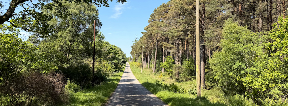
This woodland – Tornagrain Wood – is very pleasant. I pass forestry tracks on my right, and quarry workings on my left, but there is no sign of any activity. It is a peaceful walk, but just a bit boring because the road is long and straight.
It ends at a railway crossing and a couple of cottages. Note the sign that says “New Footbridge” – and remember this route is supposed to be OK for bikes.
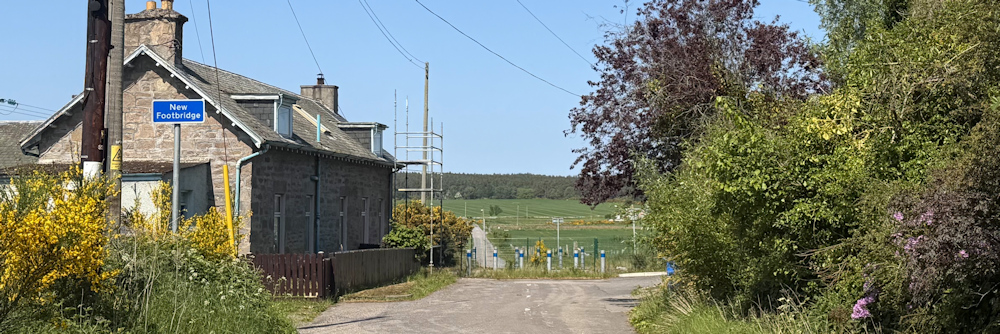
Clearly at one time you could cycle (or drive) straight across the tracks. I can see the road continuing straight ahead. But the railway line is fenced off now…
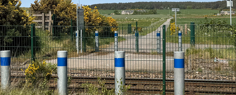
… so you have to use the new bridge. And it is quite a monstrosity.
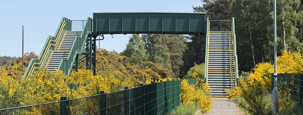
This morning, cycling to Petty Church, I had to get my bike up and over that thing. Were they lying about it being OK for bikes? Technically no. If you look closely, you can see a yellow track going up the side of the steps – just wide enough for a bike tyre.
Now, my Scooty bike is an old electric bike, and it is heavy. I placed the front tyre on the track and pushed… and pushed… and pushed… but there was no way I could get the thing up. I didn’t even manage to push it far enough along to get the second wheel on the track.
So, I had to unpack everything off the bike, including the electric motor, and carry everything over to the other side before returning for the bike. Then, with a lot of puffing – and a few swear words – I managed to push my bike up to the top.
Here is a closer view of the track. Not an easy thing to navigate when you are an old lady and your bike is a wide-tyred heavy monster of 22 kg.
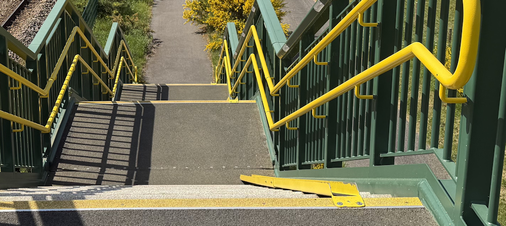
Getting it up was hard enough. Getting it down was terrifying! I’m amazed we both ended up safe on the ground… eventually. Who dreamt up this unfriendly bridge with this ridiculously steep and narrow cycle ramp? Not a little old woman, thats for sure!
But, now, I’m on foot, and walking up, over, and down again is a piece of cake.
There are fields on the other side, mainly growing cereal crops, but next to the railway track is a field of highland cows.
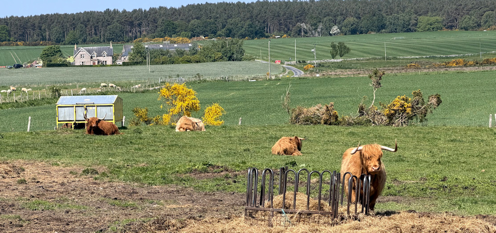
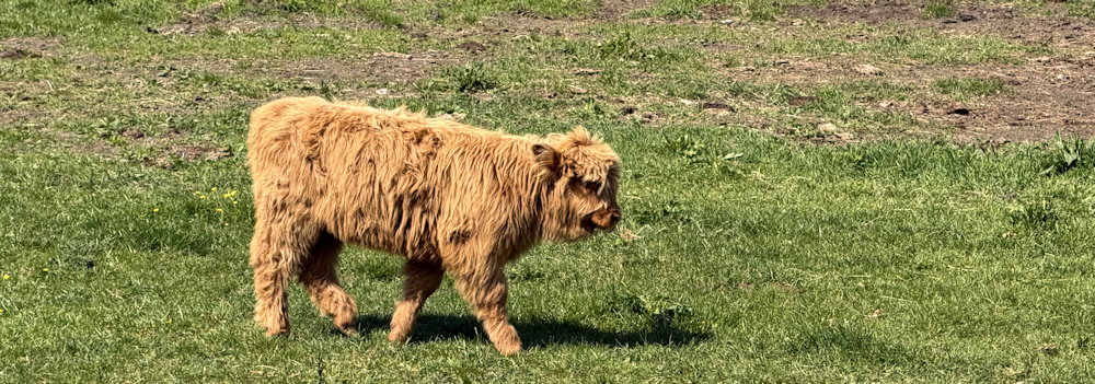
I’m not a fan of cows, as most people know, but these ones are behind a fence and, therefore, I can admire their cuteness. Look at this little one… so sweet!
A small plane comes in low over my head. I watch it descending over the fields. Ah, of course, there is Inverness airport.
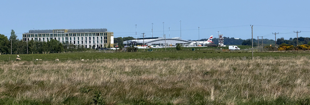
I must say, my iPhone camera is pretty good with its zoom facility – better than my Canon.
I walk along the road, past fields and a farm called Easter Dalziel, through an area of fragrant gorse and bright broom, to reach the end of my little lane and the road to Fort George.
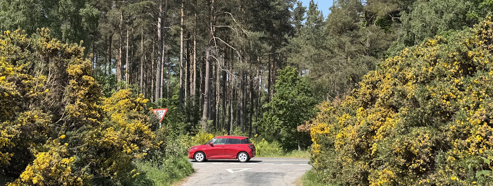
The road to Fort George is labelled “Old Military Road” on my OS map – a name that gives the impression of antiquity and quaintness. In fact, it is a disconcertingly busy road, and I must keep dodging traffic.
I stop to pull on my hi-vis vest, although I’m not sure how visible that makes me against the bright yellow gorse and broom bushes!
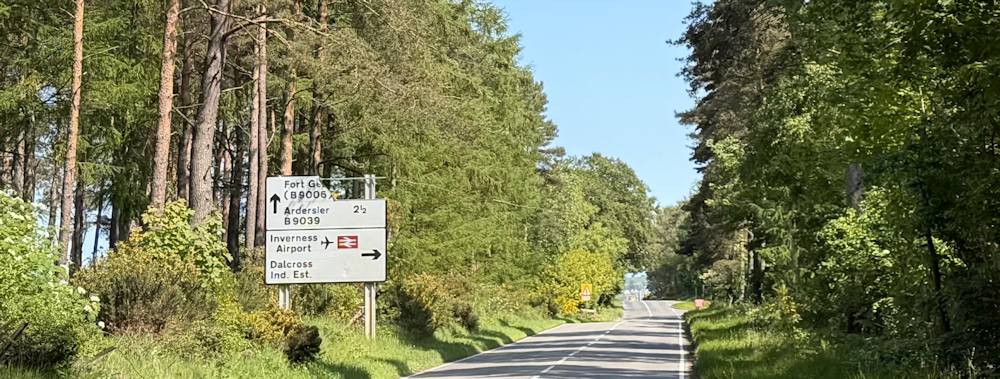
Luckily, the volume of traffic dies down once I get past the turnoff to Inverness airport.
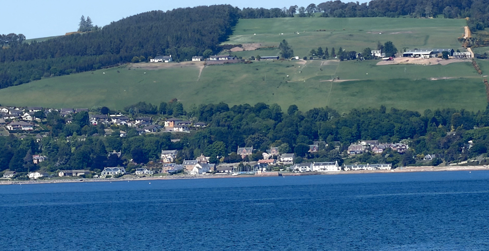
After the turnoff, I come out of the woodland and begin to enjoy the views. There is Avoch across the water, with the high, tree-lined ridge where I walked last year.
And, to my right, I get intermittent views of airport structures and parked planes. The outskirts of Inverness Airport.
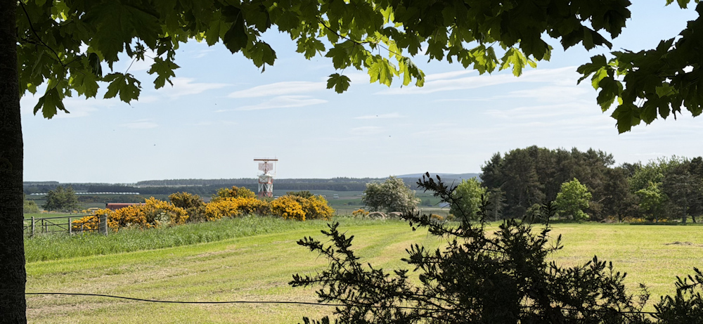
This Old Military Road goes on and on.
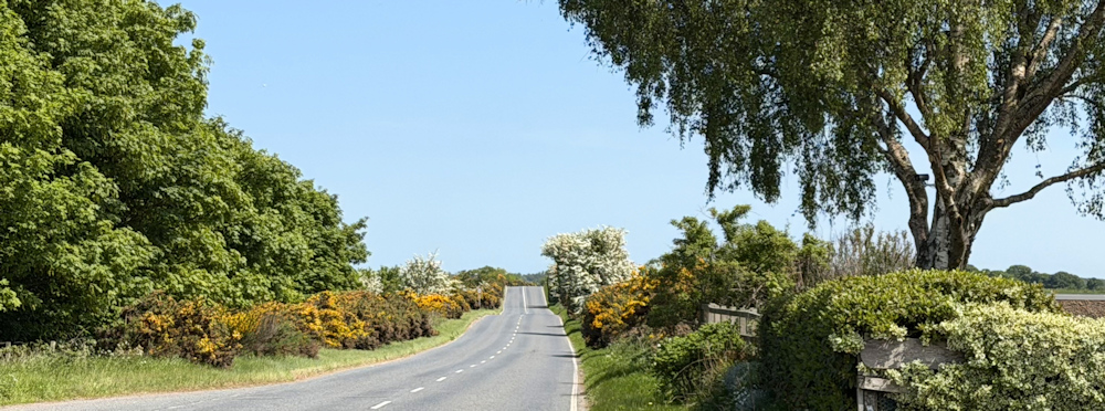
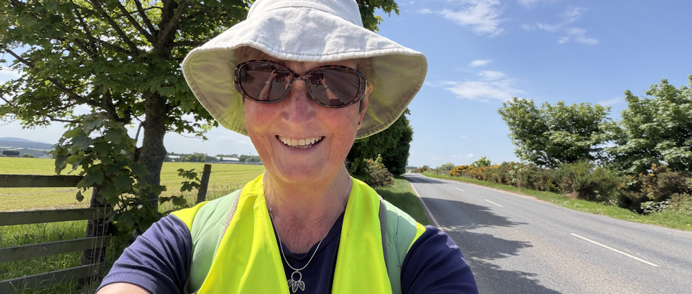
But at least the sun is shining and the traffic has died down. I stop to take a selfie.
After a mile or so, I can see Ardersier ahead. I cycled through here earlier and noted a cafe was open, so I plan to stop here for lunch.
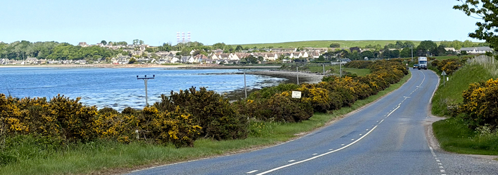
But, by the time I reach the village, I realise there is only 20 minutes until the cafe closes – and I’m not even sure how to get there from the coastal road. So, I sit down at a handy picnic bench and eat my snacks instead.
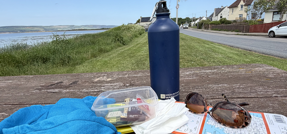
(Why do cafes in Britain keep such antisocial hours? They never seem open to suit my itinerary!)
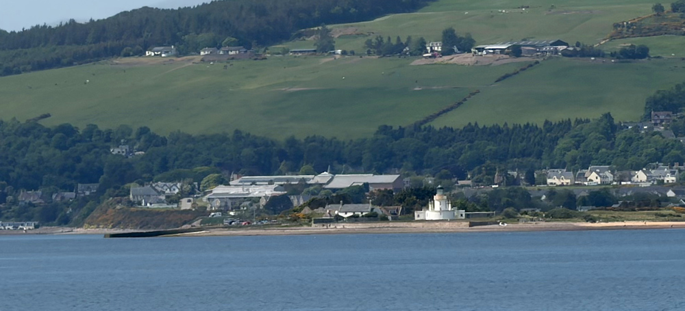
I take more photos from my picnic area. That is Fortrose across the water, with Chanonry Point lighthouse. I was hoping to spot dolphins agin today and I keep a constant look out – but I don’t.
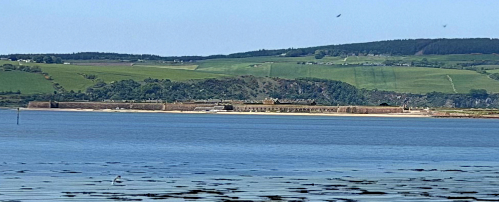
Ahead, I can see Fort George itself. A long, low structure. I’m assuming its an old fort left over from the Napoleonic Wars, and maybe with newer structures added in WW2.
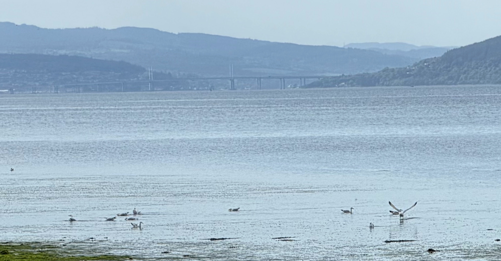
Looking back up the firth, I can see the span of Kessock Bridge. Blue in the misty haze of the afternoon. Having spent so much time going back and forth over that structure, it is hard to believe I probably won’t cross it again.
Feel the familiar tug of sadness. I’ve passed through many wonderful places on my coastal trek, and some have been important landmarks, or waymarks, that I always feel a pang about leaving behind.
Ardersier has a beach. It is not the best – with coarse shingle at the top, and mud below the tide mark. But still very pretty.
Who are the people in hi-vis vests walking across the mud? Ecologists? Litter pickers?
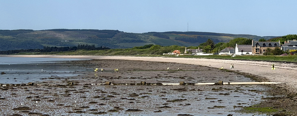
As I get closer, I realise they are little children and their teachers. A school outing. Everyone is wearing a hi-vis vest, so I slip off my own vest – not wanting to generate any confusion!
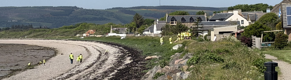
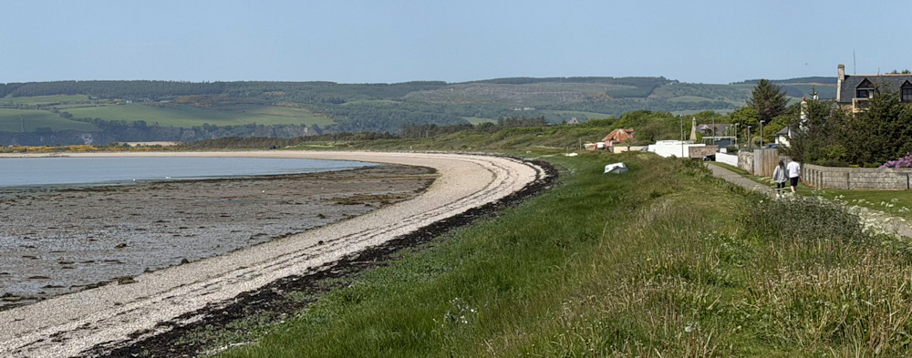
Beyond the school children, I stick to the path because the beach looks a little rough for my feet. What a nice place this is. A good ‘feel’ to the village.
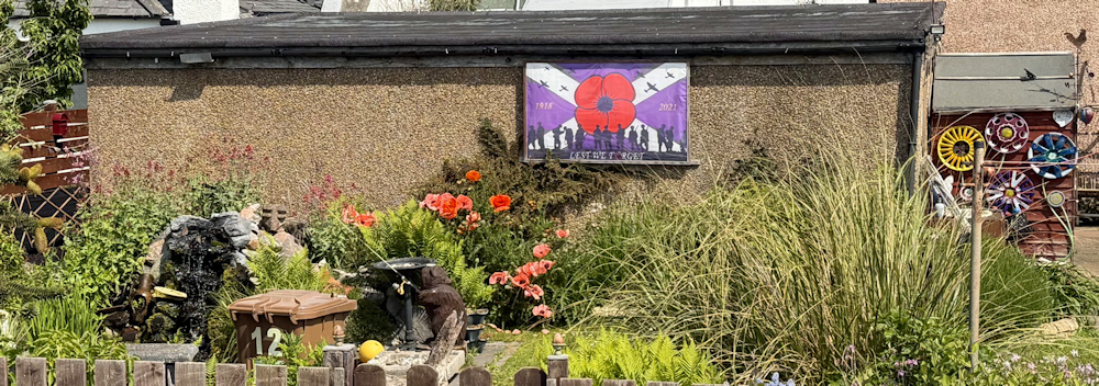
I walk past the back of someone’s garden, where they have created a memorial area for fallen soldiers. Huge poppies. A water feature. And a painting.
Past the houses, and the path passes through an open gate into open land. Someone has created a ‘POOCH PIT’ for dogs. Fresh water for thirsty pups.
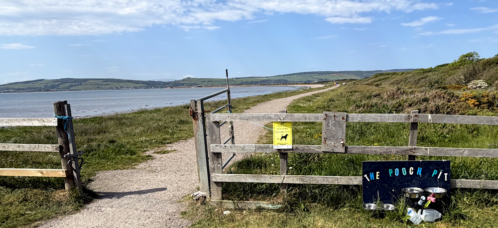
Then follows a mile of very pleasant walking around the bay to Fort George. The area is popular, with joggers and dog walkers. A sign explains this is reclaimed shingle beach – reclaimed naturally, I assume, by creeping vegetation. There are paths with walks inland too, but I stick to the coast, of course.
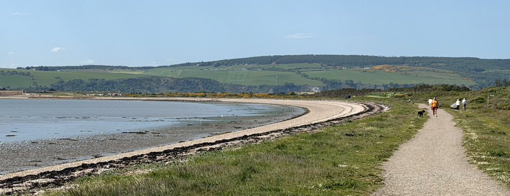
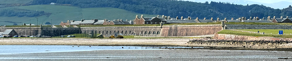
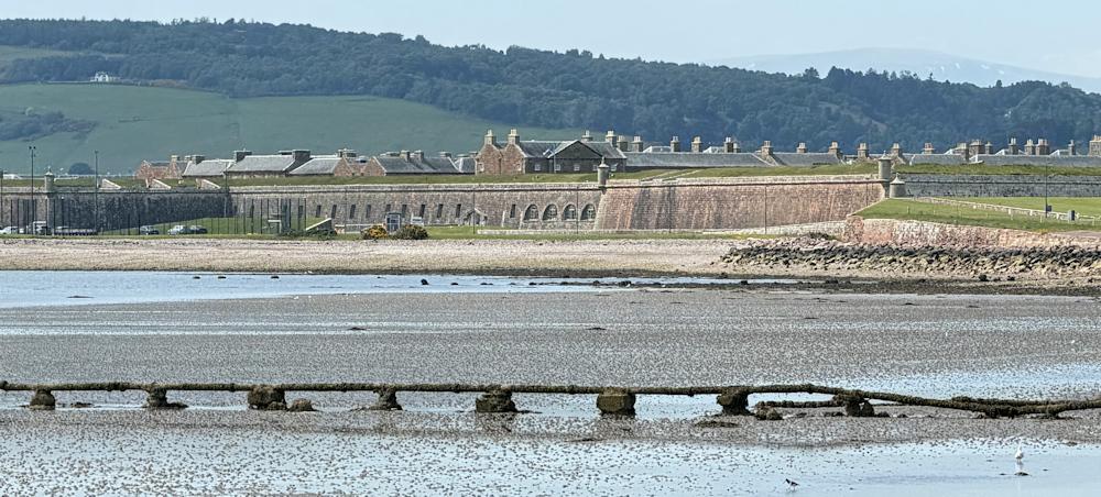
Fort George is getting nearer, and I stop to take photographs across the bay. It would probably look more scenic with the tide in, but the mud complements the colour of the fortifications nicely. I must say, it seems larger than I imagined. Quite a substantial complex.
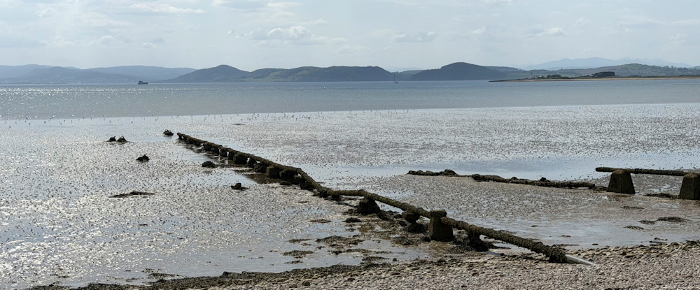
I look back up the Moray Firth. Yes, Kessock Bridge is up there somewhere, but lost in the bright hazy gleam of the afternoon.
I reach the place where I left my car this morning and head inland. In retrospect, I think this is the overspill car park for Fort George. There was nobody parked here this morning, but now a couple of other cars have arrived.
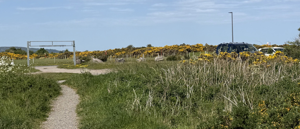
I walk over grass to reach another, much busier, car park. And realise – with a surprise – that Fort George isn’t an ancient relic of a bygone era. It’s the home of The Black Watch. So… it’s a working fort!
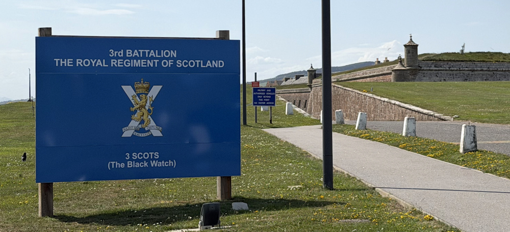
I would like to walk around the fort itself, following the shoreline, but am put off by a sign that says ‘No visitor acess’.
Visitors are allowed into some of the fort, but you have to pay an entrance fee.
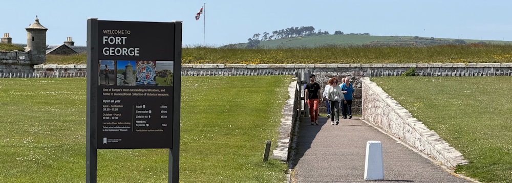
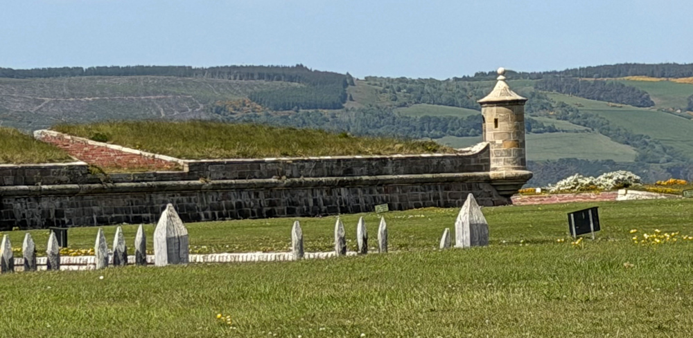
I take photographs of the outside. Really not much to see. The structure is low, with grass covered ramparts, and funny little stubby towers at the corners. Why so low? To protect from bombardment from the sea? It’s a strange structure and not like any fort I’ve seen before.
Worryingly, there is a red flag flying at the end of the car park. This is the route I was planning to take tomorrow… so I might have to rethink my plans.
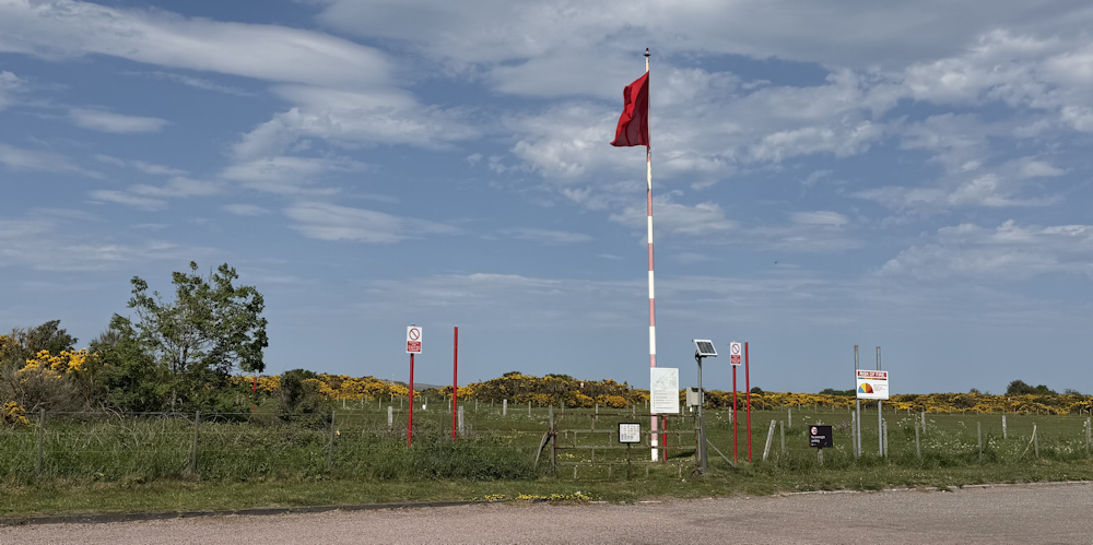
I return to my car. Well, today was an easier walk than yesterday, although the bike ride to get to my starting place proved to be a huge challenge. In fact, I feel exhausted. Only 6 miles completed – but that’s enough for me.
Dolphins seen = 0
Miles walked today = 6 miles
Total around coast = 5,271.5 miles
Route today:






Getting a bike up and over that bridge sounds like a monumental challenge – whoever thought up that ramp system on such steep steps mustn’t be a cyclist! I like the look of the bay, and I think I would have paid to go into the fort just out of curiosity.
I couldn’t have done it last year, Eunice, when I was still recovering from chemo and radiotherapy. I managed it this time… but only just. Yes, I plan to go back and look at the fort.
It’s a bit late for you now, but when I walked the coast of Scotland I invested in an Historic Scotland membership. That got me in to all the sites for free. Fort George is definitely worth a visit, and you have a far higher chance of seeing dolphins from the ramparts particularly at low tide. Hope you did visit it! All the best Chris
Thats an excellent idea, Chris. I’ve just bought a year’s membership.
Looks like a lovely walk and much less frustrating than the last one. I remember that nice surfaced path at the back of the beach I didn’t discover it immediately, so hadn’t seen where it came from but it was very welcome.
As to the bridge you have Network Rail to thank for that. They seem to have decided that level crossings, including pedestrian ones, are much too dangerous and are on a mission to close as many of them as possible. (Not something I agree with…). That’s probably the reason for the unfriendly bridge.
Yes. I think it’s a shame.
Wow, getting the bike across does sound like a mission you could’ve done without, but you did it and had a lovely walk too.
It was a challenge!
I fully understand the pang of leaving a landmark behind for the last time. I’d really struggle to get sentimental about the Kessock Bridge, though!
Despite their fearsome head weapons, Highland cattle are one of the more docile breeds so, even if they weren’t fenced off, you’d have been safer with them than many less stabby-looking breeds.
Fort George’s low ramparts are a product of when it was built (1769, so pre-Napoleonic but after the Jacobite Rising). At that time, cannon were getting ever more powerful and accurate and half-burying the structure gives you extra protection without having to build expensively enormous walls.
The bike/bridge challenge does not sound like a fun one.
I discovered driving over the bridge was much nicer than actually walking the bridge, but for me it was the gateway to the highlands. Interesting infromation about Fort George, and explains its peculiarly low walls.
I would see crossing thr Moray Firth as a significant milestone passed. well done.
Thank you Conrad.
Well done for getting your bike over that bridge!