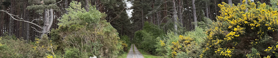
[This walk was completed on Friday, 29th May, 2026]
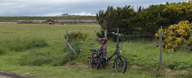
I cycle the back-lanes to Fort George, and leave my Scooty bike chained to the fence in the car park. No sign of any activity on the firing range today, but I have already planned a route that avoids the range.
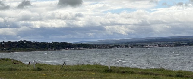
Unlike yesterday, it’s a grey day today, with some ominous low clouds. I look back across the choppy water of the bay at Ardersier, and hope I won’t get too wet on today’s walk.
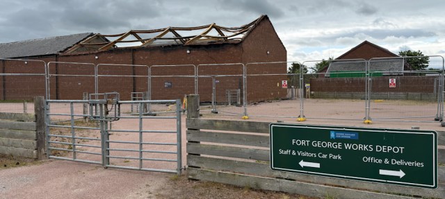
I walk back along the road, and then take the left fork to follow a minor road. I pass a collapsed building – part of “Fort George works depot”. Has there been a fire? I hope they guard their fort better than they guard their depot.
Past some houses and a storage yard, and the view becomes more rural. I look to my left, across the firing range, to the far hill of the Black Isle. Can see the ridge where I walked last year – lit up by the sunshine.
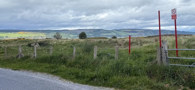
Really loved the Black Isle. Never heard of it before, and it was beautiful and midge free. Quite a delight. And now they’ve got the sunshine over there!
I continue along the road, with gloomy clouds overhead.
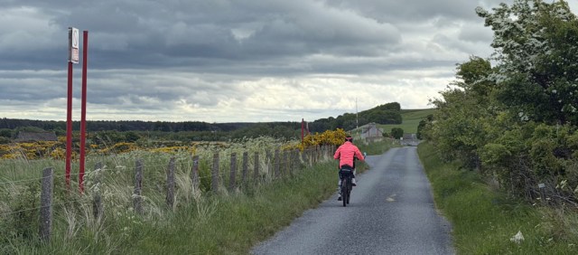
A woman on an electric bike whizzes past me. I saw her earlier approaching Fort George. She didn’t spend long there, or perhaps she was just going for a ride. She seemed a bit wobbly on the bike. I don’t see many sole female cyclists, and so feel strangely protective.
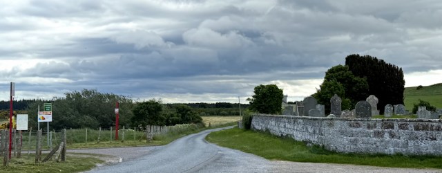
Further along, I come to an old cemetery. A lane off to the left looks promising, and I check my map. Unfortunately, it looks as if it takes me into the firing range, and I’m unsure if I can find a way out again… so I stick to my road.
One of the joys of walking in Scotland is that you get to experience spring flowers all over again – because of the latitude, the Scottish season lags behind the English season. A bank of bluebells catches my eye.
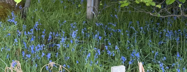
I stop for a closer look, and to take photographs. These are native bluebells. (In England we would call them English bluebells, but that would be perilous in Scotland!) You can tell by the fact they are hiding under the cover of tress, and the stem has a drooping shape as if weighted down by the flowers.
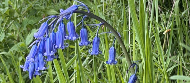
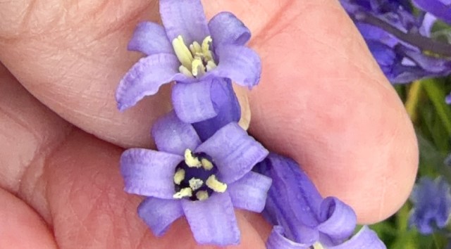
Spanish bluebells are invasive and have taken over too many of the bluebell woods in southern England, so it is good to see the native species here. I bend down to check the pollen on the stamens, which should be creamy or pale yellow in the native flowers. Yes, it is!
En masse, native bluebells have a lovely fragrance, but I can’t smell anything today. Perhaps there aren’t enough of them.
(When I first started walking the coast, I wouldn’t have been able to tell the difference between English and Spanish bluebells. In fact, I probably didn’t even realise there were two different species! Just one of the many nature-based facts I have learnt on my trek.)
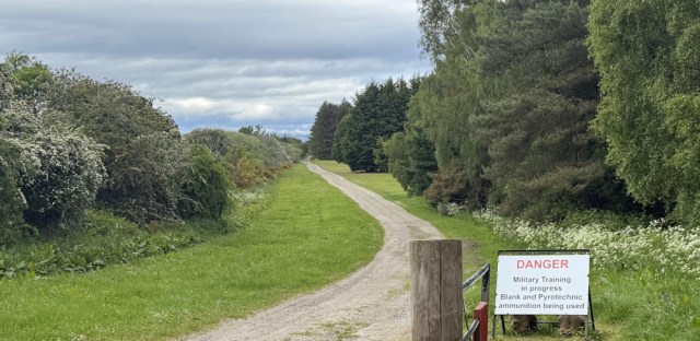
I come to another track leading off to the left. This has a “Danger” sign, and a warning “Military Training in progress”. But I haven’t heard any explosions or gun noises, so I suspect the sign has been left up since yesterday. Ah well, if the worst comes to the worst, I will simply turn back.
I pass a clearing on my right with some portable cabins. Loos? For soldiers?
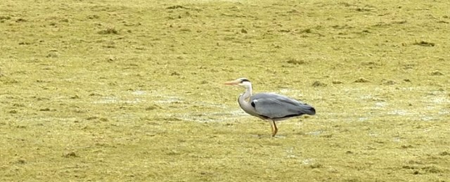
On my left is a marshy area and I spot a heron. Stop to take a photograph… just before it flies off.
I’m looking for a way into the woods on my right, where my map shows lots of tracks. This one looks promising. “Warning. New trench system…” says a little sign, “Beware of sudden drop”.
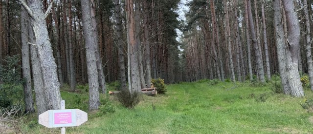
Hmm. That must be a warning for motorised vehicles. A very slow walker, like me, should be able to spot any sudden drops. I need to get into the woods at some point, so I decide to give this track a go.
And, a very nice track it turns out to be. No sudden drops or other surprises. It soon turns into a path, rather than a track, with longish grass. Soft under my feet. Lovely.
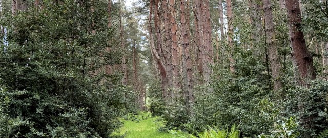
After a few twists and turns, and a period where I’m actually travelling backwards instead of forwards, I come into a more open area. Bright gorse, and a lightening sky above.
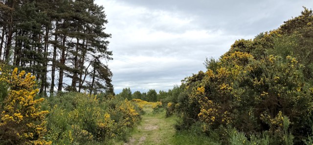
The track is leading me towards the coast. Sadly, I know I can’t walk along the shore because of an industrial area. I need to turn off to the right and enter the woodland again – but the gorse bushes form an inpenetrable fence.
Oh dear. I’m going to have to turn back after coming all this way… oh, wait… here’s a path through the fence.
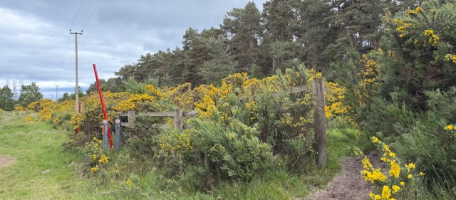
I follow the path, which loops back along the line of the fence. Right on the other side of the gorse is the track I followed earlier. I’m going backwards – again!
But soon the path branches off to the left and leads into the woods. This is better and the exact direction I want to head in.
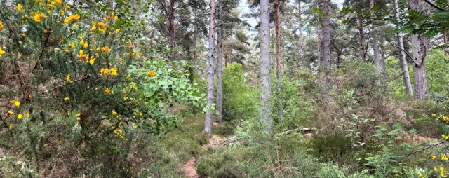
I walk under magnificent Scots Pines, and through logging areas…
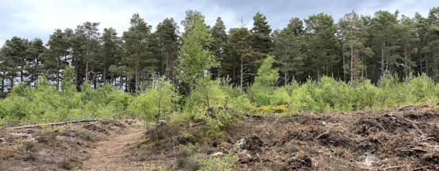
… and areas of new growth. The path has turned sandy under my feet so, although I can’t see the coast, I know I am close.
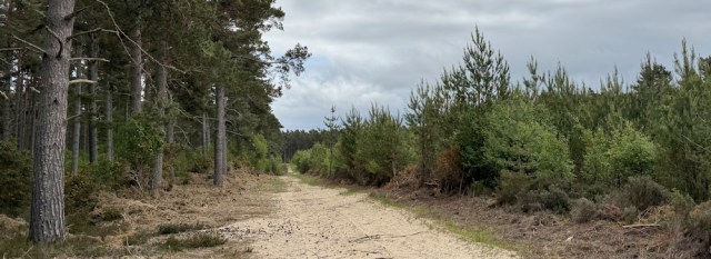
There are lots of branching tracks and paths, and, to be honest, I get a bit lost. Eventually, I emerge onto a road that I didn’t realise existed. Check my map. This must be the track marked on map that runs around the edge of the wood.
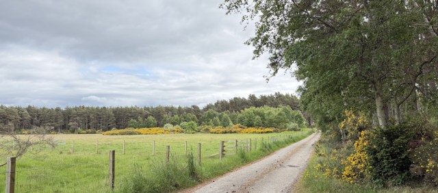
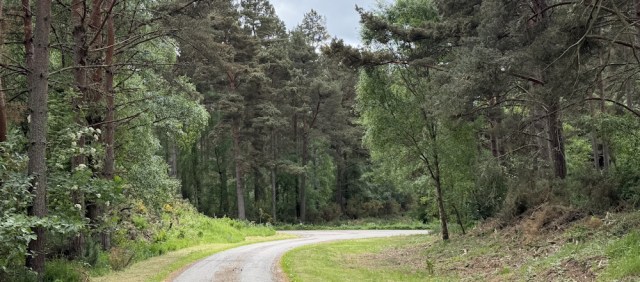
I meant to stick inside the trees, but never mind. This is a lovely road. It soon joins a larger road – one that was marked on my map and the same route I cycled along earlier.
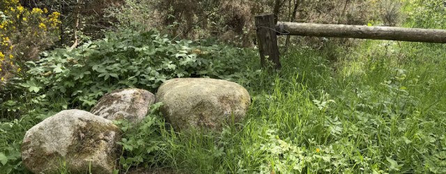
Beside the road is a collection of large stones. I think they’ve been placed to prevent vehicular access to the woodland, but they also provide a handy picnic seat and bench.
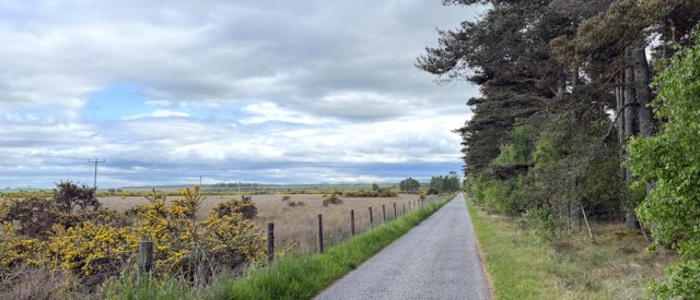
After eating my picnic lunch, I set off again. The road seems to go steadily uphill (a common illusion I find when I’m walking !) and I come out of the trees – following the periphery of the woodland again.
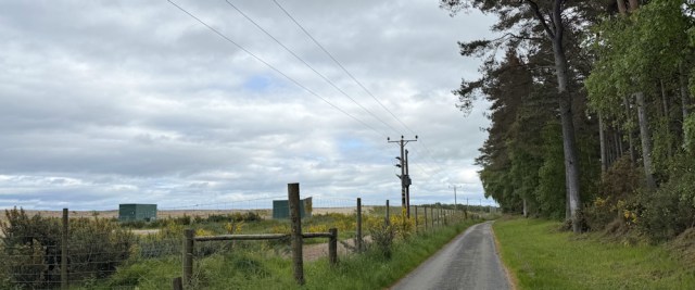
The ground to my left is open, and protected by a high fence with stern warning signs. There is a also a large sandbank, man-made I think, to hide the industrial area from sight. I am being watched…
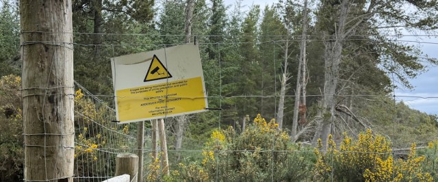
… and that immediately makes me want to go for a wee! But now I am walking between two fences, because the woodland on my right is also fenced off, so no privacy here. I must keep walking!
Further along, the road curves round and I am away from the hidden industrial area. There is a field of coarse grass on my left…
… and someone is indeed watching me. A nosy sheep with a broad, belligerent-looking face. A Texel, maybe? They always look rather thuggish.
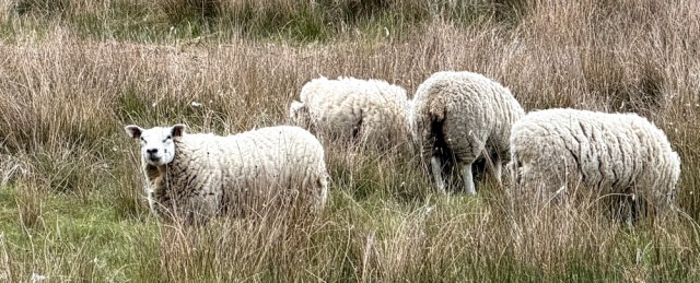
(Recognising breeds of sheep is something else I’ve learnt on my coastal walk!)
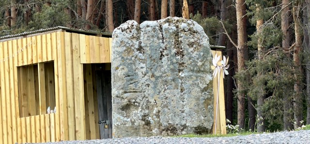
I’m looking out now for the Kebbuck Stone (sculptured) as featured on my OS map. No idea what it is, but something ancient I’m sure. Backtrack because I think I must have missed it… and than I spot it. Sitting in the middle of somebody’s drive.
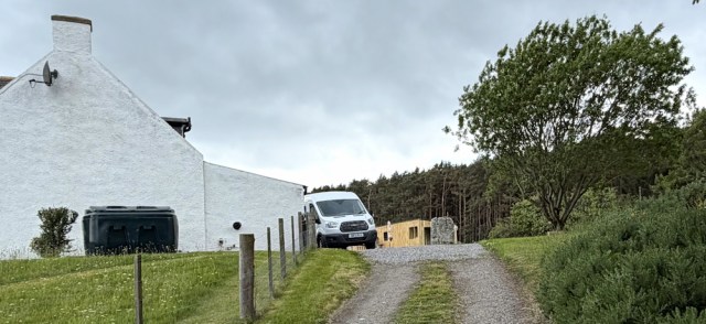
Perhaps I could go up and take a closer look? But the drive seems very private and there might be dogs. So, I have to content myself with photograph from a distance. Luckily, the zoom on my little iPhone is even better than the zoom on my Canon camera. Here it is.
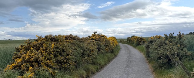
My little lane is coming to an end. I’m out of the woodland now. Fields of crops on either side. My hay fever swings back into action. Achoooo!
I join a larger road that connects Fort George to Nairn, and reach my car. I left it parked under a road sign – the only piece of hard-standing I could find for some miles – close to an enormous roundabout.
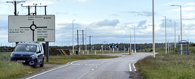
The roundabout seems out of place for such a quiet road, but it stands at the entrance to the industrial area that I have been skirting around all day. I was initially confused by the sign, “Ardersier Energy Transition Facility” until I realised it was a fancy name for a port servicing the off shore wind farms!
I wander into the car park, which seems open to visitors, and read the information displays.
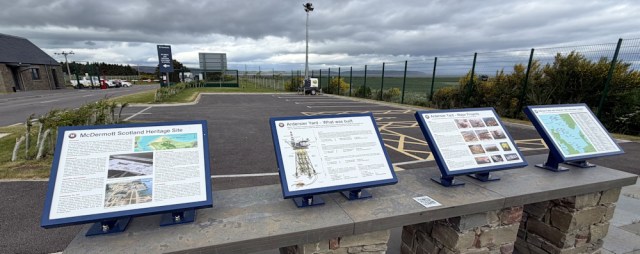
Before this, the place was an industrial yard building oil platforms – something Scotland was famous for in the 70s and 80s.
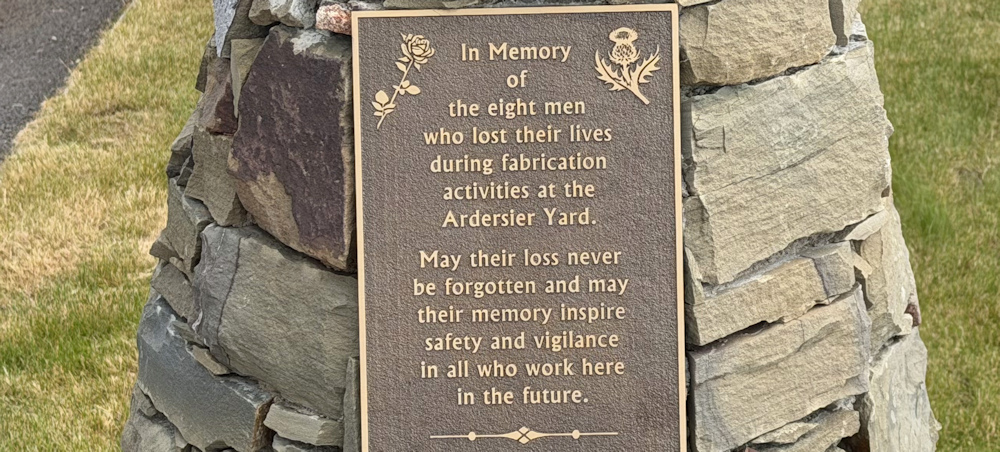
Near to the information stands is a modern looking cairn-like structure. I take a closer look…
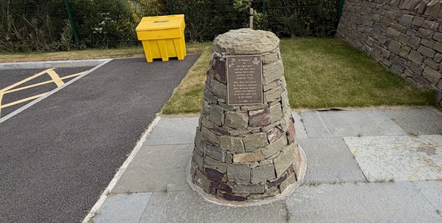
… and realise it’s a memorial to 8 men who lost their lives here in the Ardersier Yard. A reminder that the health and safety industry exists for a reason. I knew people died on the oil rigs – such a dangerous place in the wild north sea – but I didn’t realise they died during the construction process too.
Feeling somewhat gloomy, I leave the site.
To my surprise, I notice a couple of brand new bus stops on either side of the roundabout. Oh, how wonderful. Perhaps I can catch the bus here tomorrow, instead of the dreaded bike? I go to take a photograph of the timetable…
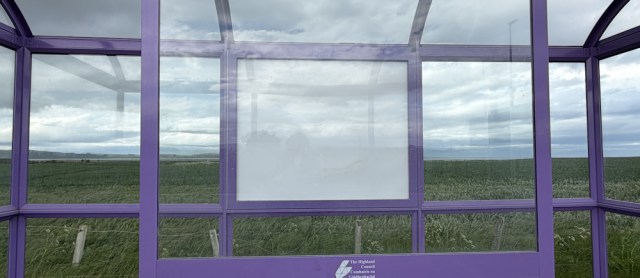
… which is completely blank. Hmmm. Perhaps I will need the bike tomorrow after all.
On the bright side, it hasn’t rained all day, despite the dark clouds.
Back in my apartment, I looked up the Kebbuck Stone. It’s origins are uncertain, but it dates from the 8th or 9th century AD. Not as ancient as many standing stones but certainly interesting. More info here: https://her.highland.gov.uk/Monument/MHG7034
Miles walked today = 6 miles
Total distance around coast = 5,277.5 miles
Route taken today:






Hello Ruth. I am absolutely amazed at your progress. Not checked for a while.
We still run our BNB on the Llŷn Peninsula and often relate your journey to fellow walkers along our stretch of the coastal path. They are all very impressed and some follow you on here.
How fantastic. I’ll check again in a year or two 😅
Keep on doing what you’re doing and enjoy as you do so.
Best of the best
Jane aand Brian.
Pen Llŷn BNB..
Thank you Jane and Bryan. I remember my stay in your lovely B&B very fondly, and the lift Bryan gave me through the incredibly muddy farmyard! I keep on walking…
I note your carparking problem and empathise. Much of my walking recently has been in more remote dales areas with narrow single track roads. I do use Google Earth to seek out parking but it can be tricky. I do have a slight advantage if the walk is circular in which case I can use any parking avaliable on the circle.
Good to see you making progess and nearly up to date with posts!
Yes, parking can be quite a challenge. I also use the satellite view in Google Maps to try to work out where I can leave my car, but it’s not easy to find a safe spot.