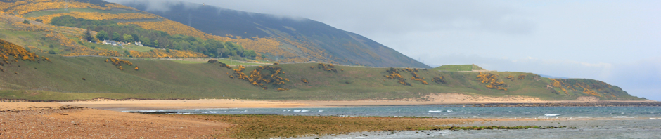
Stage 2. Hunstanton to Thornham

Today I walk from Hunstanton to Thornham. This is not a long distance, 8 miles or so, and my intention is to avoid blistering and walk a further 8 miles tomorrow.

I drive to Thornham, a pretty seaside village, and park my car at the Lifeboat Inn, where I have booked a room. Then on go the walking boots and my little rucksack. I walk to the main coastal road and wait at the Coast Hopper bus stop. Within 5 minutes a bus arrives and I buy a single ticket to Hunstanton.
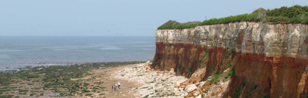
Hunstanton Cliffs - Ruth's Coastal Walk
The sun is shining and Sunny Hunny is buzzing with people. I buy lunch (sausage roll and Americano coffee) and sit eating it on a bench, watching the world go by. Then I walk Northwards along the sea front. This walk is along the top of cliffs. The cliffs are crumbly and we are kept away from the edge by a fence and, in some places, 3 fences. The coastal path has clearly been moved a number of times, further inland, as the cliff erodes. Along the fence are warning signs. And various charities have placed various signs here too – “Choose Life, not death…” – that sort of sign.

There is a strange lighthouse, now a house, and then the path leads alongside a carpark. Here there are a cliffs – a unique sight on the Norfolk coast. There are families, pushchairs, dogs… and the path leads beside dunes. There are people on the beach. Kites are flying. The sun is shining down. Beach Huts, Hunstanton, Ruth's Coastal WalkThe coastal path is separated from the beach by a line of beach huts. In places the huts are 2 or 3 deep. The inside layer of huts don’t even have a sea view. They are brightly painted and make compelling photographic subjects. I take far too many photographs.

The path is sandy and the going is difficult. I try to avoid getting sand in my boots – I understood from the boot-seller lady in Millets that sand in walking boots is bad and can lead to blisters. There are signs up saying private property, this area is leased to the golf club, but the coastal part continues through and is well marked. I pass alongside a golf course.

Twitcher near Old Hunstanton BeachEventually the golf course stops and the path continues through Holme Nature Reserve. The path is firm here and this makes the journey easy. In places there is a wooden walkway. To my left is the beach and, despite the distance from a car park, families are dotted around the beach. The nature reserve has attracted “twitchers”. They wear camouflage trousers and carry huge binoculars and telescopes. I ask if they are here for a reason – maybe a rare bird has been reported – but they tell me this is just a great time of year to see birds.

A group of young men in ordinary shoes are trying to get onto the beach. They discuss taking a short cut to the beach across the marshland that separates this part of the path from the shore. I advise them against this and direct them back to Old Hunsanton Beach, where there is easy access to the sands.

The path here is lovely, with water on both sides and a warm mellow sun.
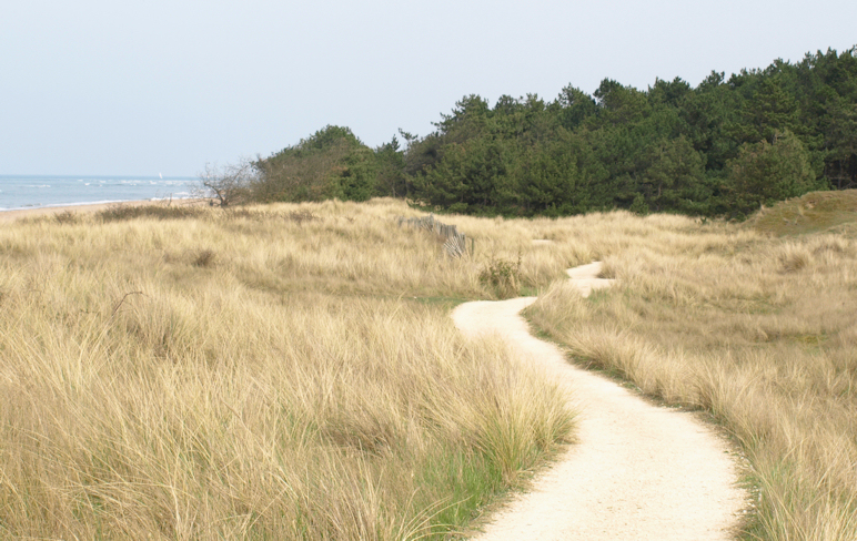
Gore Point, North Norfolk Coast I reach Gore Point, the farthest northward point of the reserve. There are signs asking us not to disturb feeding birds on the shore. And not to disturb the fragile sand dunes. The path is running along the top of a sandune that is 150 years old.  I meet a young German couple and they wait for me to take photographs before continuing. I sit on the edge of the path and eat a banana, oranges and chocolate.  I check my feet. Two new blisters but nothing serious.

The path passes through a small pine wood. There is a visitors centre here and this section of the beach is populated with families. Then the path turns southward, following the coastline as it is indented by an estuary. There are birds everywhere here. Wading birds with curved beaks look particularly striking. The sun is slanting across the fields and the air is soft with summer sun. A wonderful day. I phone home to share the moment. The only sounds around are calling birds and the crashing of the sea on the shore.
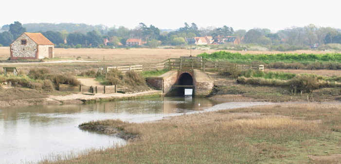
View towards Thornham, Ruth's coastal walkWalking towards Thornham is a joy in this magical light. The estuary has small boats, far sands, and lots of water.  I take even more photographs. Will I have any battery power left for tomorrow? Who cares.

Thornham looks attractive and I can see the white building of The Lifeboat Inn. The coastal path heads off to the East, but I continue towards Thornham and end up back at the carpark.

What a fantastic day. I can’t wait until tomorrow ….


Vital stats: 8 miles. no new blisters.
Posted in 02 Norfolk | Tagged , , , , , , , , , , , , , , | Leave a comment

Stage 1. Kings Lynn to Hunstanton

17th April: Unusually warm and sunny. Two days after the volcanic eruption in Iceland and all aircraft are grounded. There are no vapour trails and the sky is cloudless.

I mainly follow the route outlined by David Cotton, who did the coastwalk in 2002. For details of his route, consult his excellent website and look up walk #253.

I drive to Kings Lynn and park in a longstay car park. The time is 9:20 am. I ask a few people for directions to the tourist office, but they all seem to be Eastern European and don’t speak English. Then I meet a man with a dog and he directs me toward the Great Ouse River, but he did add “There is nothing much there.” He is right.

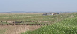
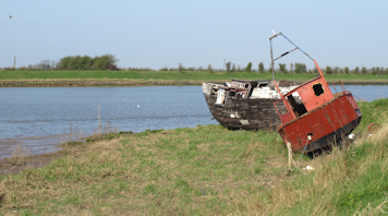
Wrecked boats, at mouth of the River Ouse I walk along the river bank and then down a track running alongside the river, passing various chemical factories and parked white vans, until I reach some rather nice houses and then the nature reserve at the end. I follow David’s route along the Old West Sea Bank and, ignoring a sign that reads “no public right of way”, walk along a bank and into Vinegar Middle, then follow farm tracks through Wooten Marsh. I am passed by a few 4×4 cars, but otherwise I see nobody. By now I am getting bored. With empty, flat farmlands on either side, and no sign of the sea, this is not the coastal walk I had envisaged.

So I decide to divert from David’s route by heading onto the sea wall at Wooten Marsh – this is the grassy earth bank that protects the low lying farmland from flooding. There are notices at access points to the sea bank which warn me that there is no public right of way along the bank, shooting is prohibited unless I am a member of a certain club and if I carry a gun then I must also carry my membership card at all times. Since I wasn’t carrying a gun, I decide to continue. Still no sign of the sea, only mud flats stretching out to my left – where the sea must begin eventually.

This part of the walk is long and hot. The sky is clear, the sun shines down and there is not even a sea breeze. The sea bank stretches relentlessly ahead with no “end point” in site. On my right are farmlands. On my left are the mud flats and the occasional strange wooden “shack”. I presume these wooden shacks belong to huntin’, shootin’ and fishin’ people and are probably the gun man’s equivalent of a garden shed – a home-from-home. I did hear gunshots in the distance, but this area of the coast is deserted and I see nobody during this stretch of the walk. I am pleased about this as I feel very exposed high up on the bank and I do not want to be challenged about my right to walk here. I startle a lot of birds. And I grow hotter and hotter, shedding layers of clothing, until I am in my T shirt and glad that I packed factor 25 sun block.

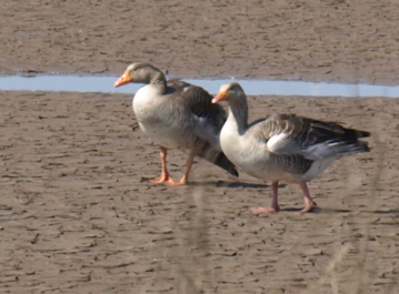
Eventually I reach a small creek and the sea wall turns inland. At this point I meet a locked gate – the first I have come across, and I have to crawl through a barbed wire fence to continue. I follow the raised bank around the creek and reached the far end of the Snettisham nature reserve. Geese on the sands, Snettisham Nature Reserve Here I see the first people since I left the Great Ouse River, nearly 8 miles ago. I had felt anxious walking along the sea wall, as this was clearly not a public right of way, so I was relieved to be on a public trail and to follow the paths of the nature reserve.

My feet are beginning to hurt and I am feeling hot and thirsty. Worse still, my iPhone is running dangerously low on batteries due to the Trip Journal app I am running. I am really worried that my phone is going to die – and with it goes my communication and escape route. So I am forced to switch if off, only turning it on again to mark various waypoints.

At the far end of the Snettisham reserve is Snettisham Scalp. Here are holiday cottages and caravan parks, with plenty of people – walking, cycling and fishing. I find a small shop in one of the caravan parks and buy an icecream. Apart from drinks of water, I have had nothing to eat since starting and, on switching my iPhone on, I am dismayed to see it is already quarter to three. I had no idea that it was so late or that my progress had been so slow.

I nearly give up. My feet are hurting, I am hot, and I don’t know if I will make it to Hunstanton. I ask the shop keeper about buses and, if there had been one available, I would have headed back to King’s Lynn at that point. However, she tells me I would have to walk into Snettisham village and that is “quite a walk”. My map confirms that by the time I arrive at Snettisham village, I could be 1/2 way to Hunstanton instead. So I decide to press on.

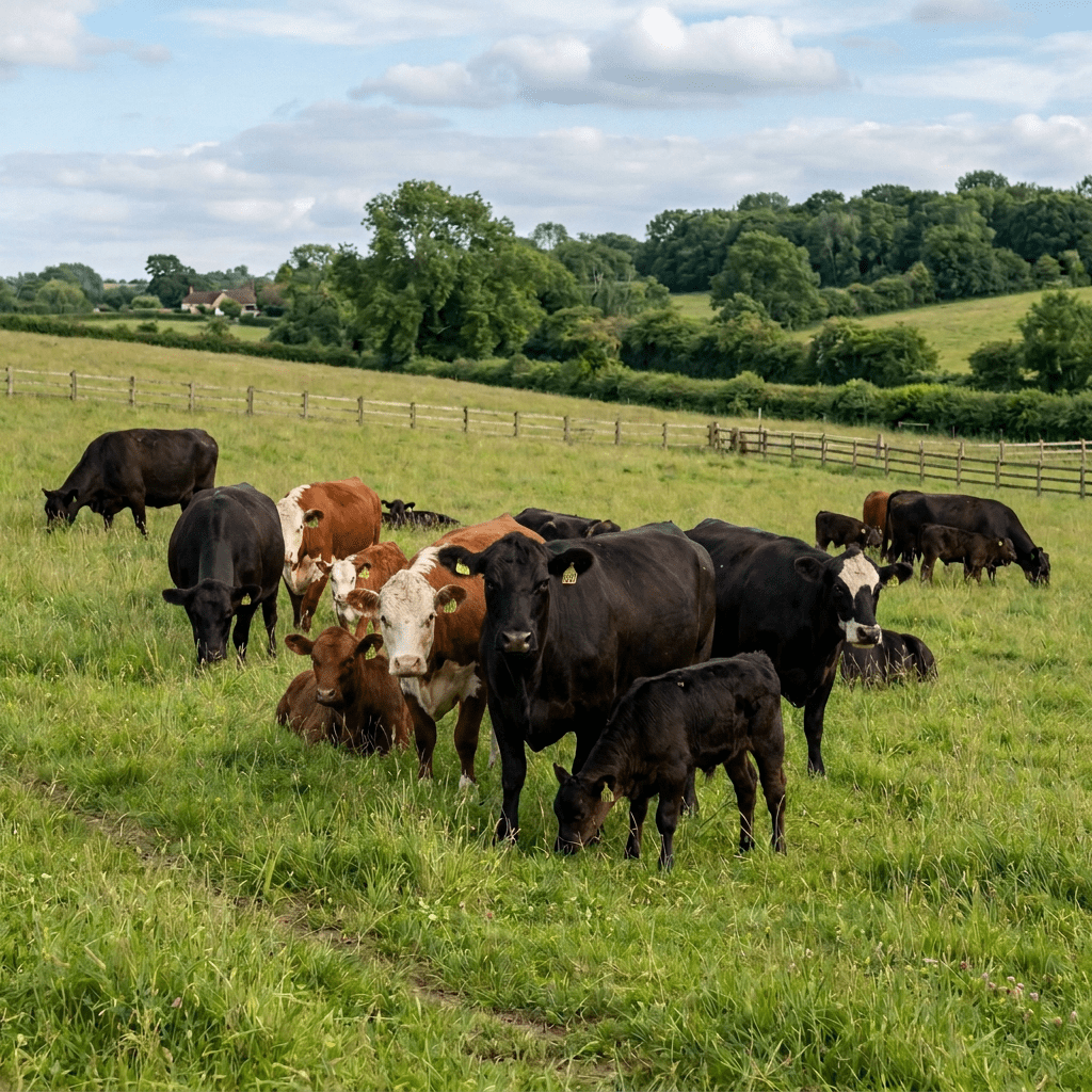
Despite my sore feet, I pick up the pace. Walking quickly, I pass everyone ahead of me, get licked by dogs, avoid cows, and walk along a raised bank running parallel with the coast until I reach Heacham beach. Here it really feels like a seaside resort – hot and sunburnt people are milling around with dogs, children, bikes, and I even saw a woman on a disabled scooter making it up a ramp and onto the beach. Groups of young people walk along the sand, speaking in Eastern European languages. There is a toilet and I wash my dog-licked hands and then settle down on the sand for a can of coke and a bar of chocolate. Then I cast caution aside and eat the rest of my food box!

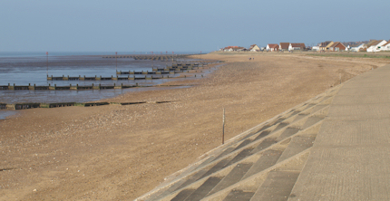
Getting up is hard. My legs ache but my feet are really sore and I know I must have blisters. The map shows a coastal walk running all the way to Hunstanton – only 2-3 miles to go. The first part of the walk is a sandy track – really hard work. I am beginning to think I will need to take an inland path, when I reach another part of Heacham beach and find a wonderful paved sea promenade. Promenade between Heacham and Hunstanton, with groynesTo my right are beach huts and, later, holiday cottages. To my left is the muddy beach, stretching into the distance, with the sea shining in the sunlight some miles away. The beach has wooden sea defences, groynes, marching out from the shoreline. The raised promenade is busy with people walking, cycling, pushing babies and exercising dogs. I see many overweight people and feel very virtuous. Ahead of me, a biker strides in full leathers. I overtake him.

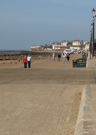
Approaching Hunstanton along the promenade from HeachamThe promenade curves gently round and I suddenly realise I am in Hunstanton. There is a fun fair, I pass the aquarium, ice cream kiosks, and watch a microlight pilot buzz a boat coming into the shore. The boat rises and begins rolling onto the sand – ah a hovercraft. No, it is a boat on wheels. It makes its way up the beach and docks.

I stop and ask an girl in an icecream kiosk for directions to the bus station. My feet are very sore now and I have to force myself to walk without a limp. I follow her directions and ask several more people en route, to ensure I am heading the right way. At this stage, I don’t want to have to walk any further than is absolutely necessary.

I arrive at the bus station at 5:20 pm and join the queue of holiday makers. The “express” bus to Kings Lynn pulls in and I pay my £3.50 bus fair with relish, slipping into a seat and falling asleep almost instantly. It took me 8 hours to make this journy, but only 45 minutes to return to Kings Lynn. I walk on painful feet through the closed shopping centre and find my car again. Then home.


Vital stats: Distance 16 miles. Time taken 8 hours. Av speed 2 miles an hour.

Things I learned:

  • I walk slower than I anticipated.
  • Despite prepartion and comfortable shoes 16 miles was too far for the first day.
  • I must not leave my tracking feature turned on, because it depletes my phone battery too quickly.
  • It is the edge of the blister that hurts, not the centre.
  • Blisters stop hurting if you pop them.
  • You can never carry too much water.
  • Chocolate bars are essential because they make you feel better.
  • All ice-cream sellers are kind and friendly people.

Oh and, depending on the route, the walk around the British mainland is 5-6,000 miles. At this rate, it will take me 6-7 years to complete!

This slideshow requires JavaScript.

Posted in 02 Norfolk | Tagged , , , , , , , , , , , | 29 Comments

Preparations

Yes, I am going to walk around the coast of the UK mainland. I am going to do it in stages. I am going to do it, despite never having walked long distances before. I am going to do it in stages. I will take my time. And I am going to enjoy it.

I have bought some basic equipment (see my Preparations page for details if this is the sort of thing that interests you!). I have done some research on the internet and discovered a few other people – some crazy and some sane – who have done this before me.

I have my first day planned. Yes, it is only one day and I will be coming home to recover.

And I start tomorrow.

If I survive, I will update this blog on my return.

Posted in 01 Start | Tagged , , , , , , , , , , , , | 7 Comments